– Lat/Long: 35.24° N 107.61° W
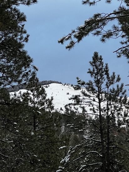
 Mount Taylor – Climbing, Hiking & Mountaineering information

Mount Taylor Guide
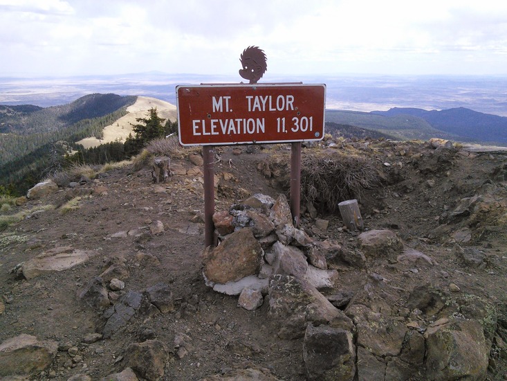
- Elevation: 3449
- Difficulty: Scramble
- Best months to climb: June
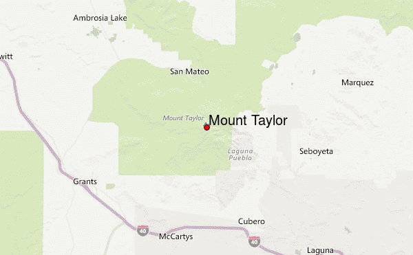
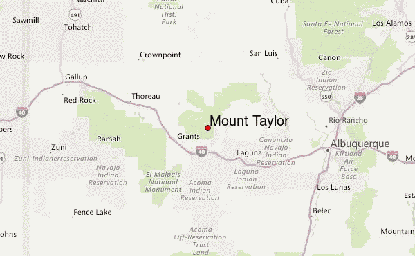
- Convenient center: Grants New Mexico
Mount Taylor climbers NotesBe the first to submit your climbers note! Please submit any useful information about climbing Mount Taylor that may be useful to other climbers. Consider things such as access and accommodation at the base of Mount Taylor, as well as the logistics of climbing to the summit. |
| Select a
mountain summit from the menu |
||
|
Select a Mountain Summit
|
||
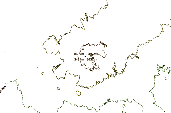
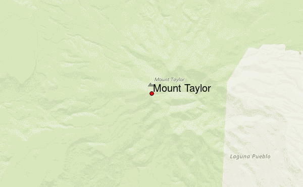
Use this relief map to navigate to mountain peaks in the area of Mount Taylor.
10 other mountain peaks closest to Mount Taylor:
| 1. | Zuni-Bandera volcanic field (2550 m) | 60.5 km |
| 2. | Zuni-bandera (2550 m) | 60.5 km |
| 3. | Lucero volcanic field (1573 m) | 65.0 km |
| 4. | Cat Hills volcanic field (1750 m) | 84.2 km |
| 5. | Fajada Butte (2019 m) | 91.1 km |
| 6. | Ladron Peak (2807 m) | 101.4 km |
| 7. | San Felipe volcanic field (1585 m) | 104.7 km |
| 8. | Sandia (3255 m) | 104.7 km |
| 9. | Valles Caldera (3430 m) | 117.3 km |
| 10. | Redondo Peak (3431 m) | 118.1 km |