– Lat/Long: 36.22° N 137.58° E
 Yake-dake – Climbing, Hiking & Mountaineering information

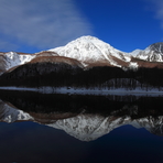
Yake-dake Guide
- Elevation: 2455
- Difficulty: -
- Best months to climb: August, September
- Convenient center: Matsumoto
Yake-dake climbers NotesBe the first to submit your climbers note! Please submit any useful information about climbing Yake-dake that may be useful to other climbers. Consider things such as access and accommodation at the base of Yake-dake, as well as the logistics of climbing to the summit. |
| Select a
mountain summit from the menu |
||
|
Select a Mountain Summit
|
||
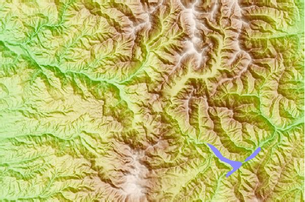
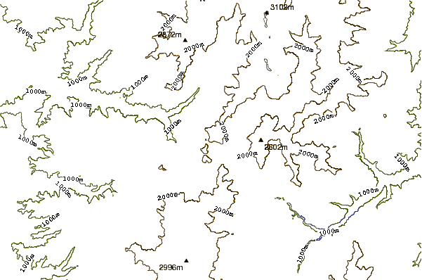
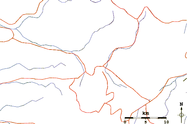
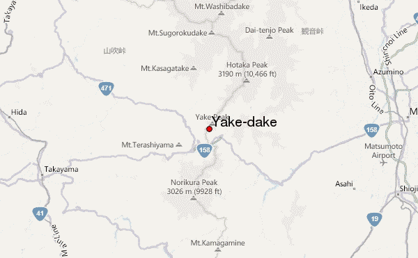
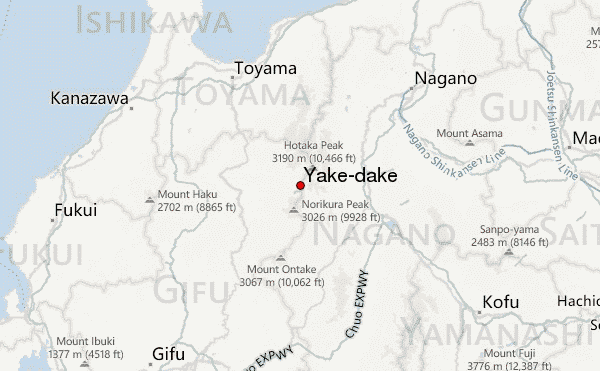
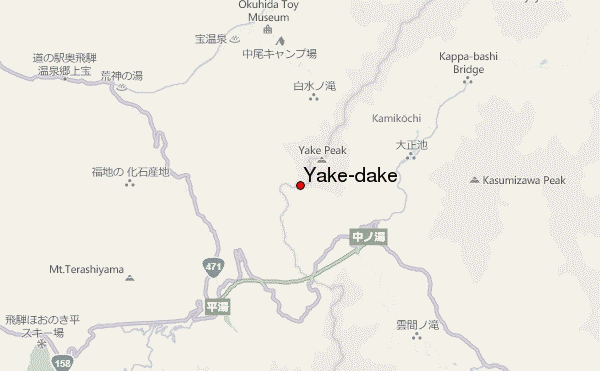
Use this relief map to navigate to mountain peaks in the area of Yake-dake.
10 other mountain peaks closest to Yake-dake:
| 1. | 明神館 (2079 m) | 2.3 km |
| 2. | 坂巻温泉旅館 (1528 m) | 2.5 km |
| 3. | 位ヶ原山荘 (1227 m) | 3.9 km |
| 4. | 大滝山荘 (1509 m) | 5.9 km |
| 5. | 穂高岳山荘 (1508 m) | 6.0 km |
| 6. | 蝶ヶ岳ヒュッテ (2368 m) | 6.1 km |
| 7. | 嘉門次小屋 (1512 m) | 6.4 km |
| 8. | 西穂山荘 (1352 m) | 8.0 km |
| 9. | 上高地西糸屋山荘 (1532 m) | 8.4 km |
| 10. | 小梨平キャンプ場 (1528 m) | 8.5 km |