Whakapunake Guide
- Elevation: 962
- Difficulty: -
- Best months to climb: -
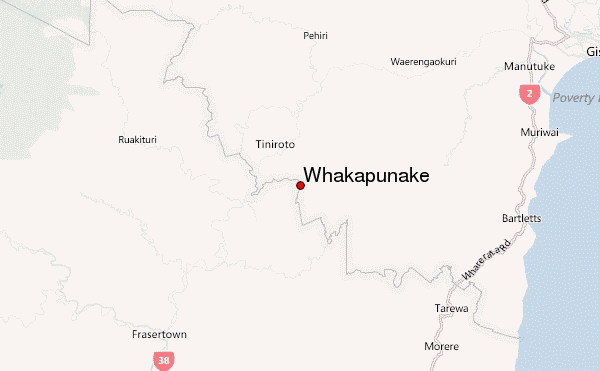
- Convenient center: Te Reinga
Whakapunake climbers Notes
Douglas from NEW ZEALAND writes:
Access is via Hikurangi forests block is Pohaturoa 8km vehicle drive to the top branch then to access the northern summit another 15 minutes on the northern road depending on road conditions you may be able to drive up the the top gate though more likely you'll need to walk it. From the gate walk through the pines to the bush edge head directly east (you might find a old possum trapping line which will take you directly east through the native) until you reach the large gorge (approx 3 hours. From here you may find a old track going down into the gorge and skirt the scrub on the other side in the native it opens up and is easy to move through along the ridge, continue to the trig. Approx total time 8hours return (this is only the time from the northern road gate to the trig and back it does not include the time to drive up).
2018-11-12 |
Click here to read 1 more climbing note for Whakapunake or submit your own
|
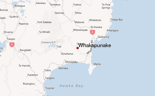
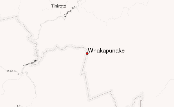
Select Whakapunake Location Map Detail:
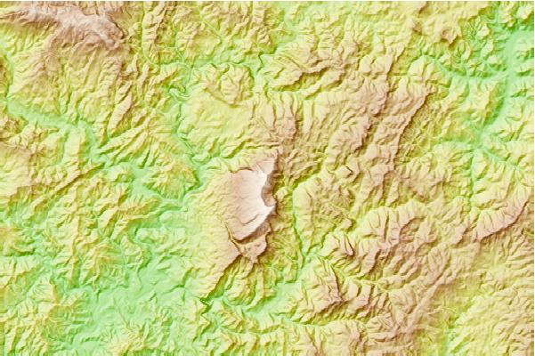
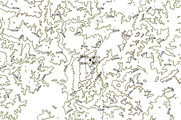
Use this relief map to navigate to mountain peaks in the area of Whakapunake.
10 other mountain peaks closest to Whakapunake:
 Whakapunake – Climbing, Hiking & Mountaineering information