 Mount Tarawera – Climbing, Hiking & Mountaineering information

Mount Tarawera Guide
- Elevation: 1111
- Difficulty: -
- Best months to climb: January, February, April, May, June, July, August, September, October, November, December
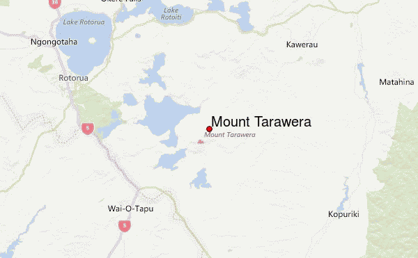
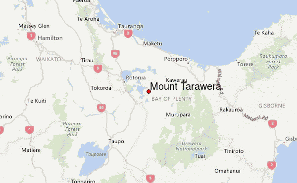
- Convenient center: Rotorua
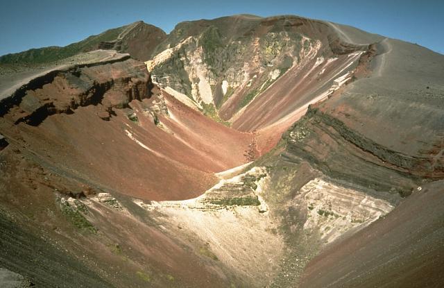
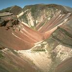
Tarewera is a dormant volcano. It last exploded in 1886, the force from which split the mountain in two. There are three vents, though to the layman's eye, there appears to be only one which is long (about 9km) and narrow. It is extremely colourful at the summit and in the cone with a variety of red, yellow, pruple and darker rocks and dust. It is pretty easy to walk to the summit and then around the cone and the views on a good day are stunning. The only drawback is that you have to pay NZ$23 for the privilege of walking it.
Mount Tarawera climbers NotesBe the first to submit your climbers note! Please submit any useful information about climbing Mount Tarawera that may be useful to other climbers. Consider things such as access and accommodation at the base of Mount Tarawera, as well as the logistics of climbing to the summit. |
| Select a
mountain summit from the menu |
||
|
Select a Mountain Summit
|
||
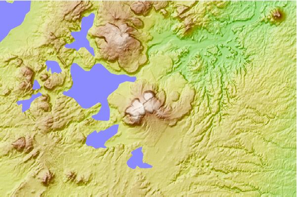
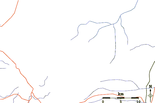
Use this relief map to navigate to mountain peaks in the area of Mount Tarawera.
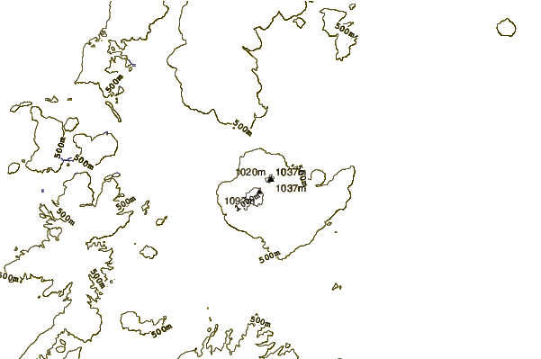
10 other mountain peaks closest to Mount Tarawera:
| 1. | Okataina (1111 m) | 10.9 km |
| 2. | Rotorua Caldera (757 m) | 26.5 km |
| 3. | Reporoa caldera (592 m) | 27.4 km |
| 4. | Mount Edgecumbe/Putauaki (820 m) | 28.0 km |
| 5. | Skyline - Rotorua (649 m) | 28.9 km |
| 6. | Duckville Hut (480 m) | 35.5 km |
| 7. | Okui Hut (298 m) | 41.8 km |
| 8. | Maroa (1156 m) | 44.3 km |
| 9. | Te Pourewa Hut (286 m) | 56.4 km |
| 10. | Te Panaa Hut (365 m) | 57.6 km |