– Lat/Long: 53.24° N 6.25° W
 Two Rock
Weather Forecast, IrelandIssued: 12 pm Mon 03 Aug Local TimeUpdates in: hr min sUpdate imminent
Issued: 12 pm Mon 03 Aug Local Time
Updates in:
Update imminent hr min s

Issued: 12 pm Mon 03 Aug Local Time
Updates in:
Update imminent hr min s
Days 1–3 Weather SummaryModerate rain (total 11mm), heaviest on Mon night. Very mild (max 18°C on Mon morning, min 7°C on Wed night). Winds increasing (light winds from the SW on Mon night, strong winds from the WNW by Wed morning). | Days 4–6 Weather SummaryMostly dry. Very mild (max 17°C on Sat afternoon, min 9°C on Thu night). Wind will be generally light. | |||||||||||||||||
Monday 3 | Tuesday 4 | Wednesday 5 | Thursday 6 | Friday 7 | Saturday 8 | |||||||||||||
AM | PM | night | AM | PM | night | AM | PM | night | AM | PM | night | AM | PM | night | AM | PM | night | |
some clouds | light rain | mod. rain | rain shwrs | rain shwrs | rain shwrs | rain shwrs | rain shwrs | clear | some clouds | some clouds | rain shwrs | cloudy | light rain | rain shwrs | cloudy | rain shwrs | rain shwrs | |
Cloud base (m) | 2850 | 2750 | 250 | 800 | 1550 | 550 | 250 | 850 | 2050 | 1950 | 1900 | 1850 | 6150 | 2850 | 1600 | 1800 | ||
km/h | ||||||||||||||||||
 |  |  |  |  |  | |||||||||||||
— | — | — | — | — | — | — | — | — | — | — | — | — | — | — | — | — | — | |
mm | — | 2 | 7 | 1.4 | 0.5 | 0.2 | 0.3 | 0.2 | — | — | — | 0.1 | — | 0.1 | 0.1 | — | 0.2 | 0.1 |
max °C | 18 | 16 | 15 | 18 | 18 | 14 | 12 | 13 | 10 | 13 | 15 | 12 | 15 | 16 | 14 | 16 | 17 | 15 |
min °C | 17 | 13 | 13 | 17 | 18 | 10 | 10 | 12 | 7 | 11 | 14 | 9 | 13 | 15 | 11 | 14 | 17 | 13 |
chill °C | 16 | 11 | 11 | 16 | 17 | 6 | 6 | 9 | 4 | 8 | 13 | 7 | 12 | 15 | 10 | 13 | 16 | 12 |
Freezing level m | 3300 | 3400 | 3550 | 3250 | 3250 | 3050 | 2550 | 2650 | 2450 | 2450 | 2850 | 2800 | 2600 | 2850 | 2950 | 3350 | 3500 | 3450 |
5:43 | — | — | 5:45 | — | — | 5:47 | — | — | 5:48 | — | — | 5:50 | — | — | 5:52 | — | — | |
— | 9:16 | — | — | 9:15 | — | — | 9:13 | — | — | 9:10 | — | — | 9:08 | — | — | 9:07 | — | |
Loading...
Two Rock Weather (Days 0-3):
The weather forecast for Two Rock is: Moderate rain (total 11mm), heaviest on Mon night. Very mild (max 18°C on Mon morning, min 7°C on Wed night). Winds increasing (light winds from the SW on Mon night, strong winds from the WNW by Wed morning).
Two Rock Weather (Days 3-6):
Mostly dry. Very mild (max 17°C on Sat afternoon, min 9°C on Thu night). Wind will be generally light.
This table gives the weather forecast for Two Rock at the specific elevation of 536 m. Our advanced weather models allow us to provide distinct weather forecasts for several elevations of Two Rock. To see the weather forecasts for the other elevations, use the tab navigation above the table. For a wider overview of the weather, consult the Weather Map of Ireland.
Two Rock Photos
View all
Dublin Mountains photos (14) |
Ireland Ranges photos (377) |
photos from mountains in Ireland (426) |
all photos
 Upload new photo

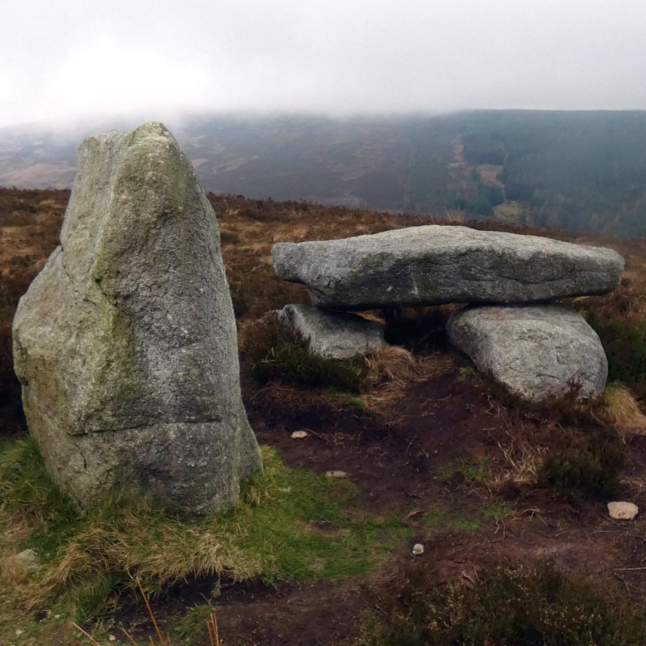
Two Rock
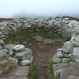
Trail
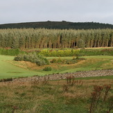
Cairn
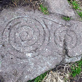
Rock Art
Two Rock