Two Buttes Mountain Guide
- Elevation: 1434
- Difficulty: Walk up
- Best months to climb: April, May, June, July, August, September, October
- Convenient center: Lamar, Colorado
Two Buttes Mountain climbers Notes
Brandon from UNITED STATES writes:
The family and I climbed today 3-22-15 @ 7:04 am.
Weather was perfect and the climb took about 20 minutes to get to the summit with kids. There was no snakes out yet that I could see. Collected a few samples of pyrite, maybe mica "fools gold" on the south west side close to the summit. Found an arrow head on the east side at the base of the mountain. Today's experience was one of a kind and I encourage anyone looking for a good starter mountain to climb for kids to give this one a try.
Access isn't bad but if 4 wheelers were allowed it would make for a better start to the base.
-B
2015-03-22 |
Click here to submit your own climbing note for Two Buttes Mountain
|
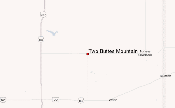
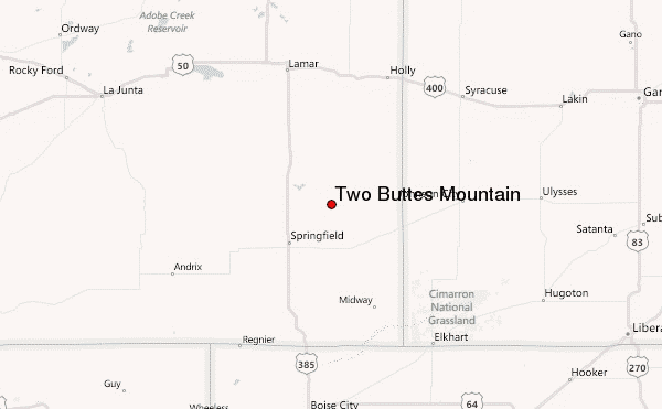
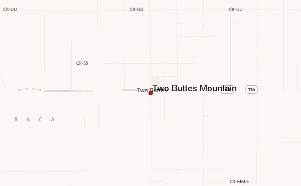
Select Two Buttes Mountain Location Map Detail:
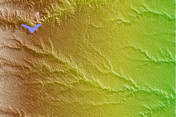
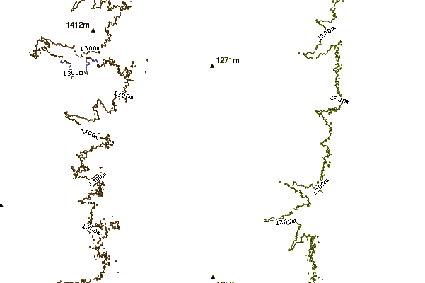
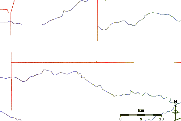
Use this relief map to navigate to mountain peaks in the area of Two Buttes Mountain.
10 other mountain peaks closest to Two Buttes Mountain:
 Two Buttes Mountain – Climbing, Hiking & Mountaineering information