Sierra Grande Guide
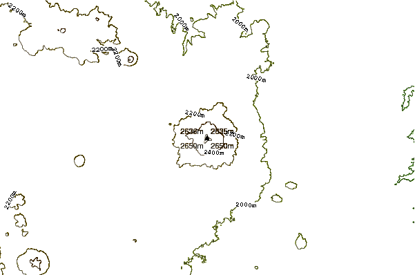
- Elevation: 2658
- Difficulty: -
- Best months to climb: -
- Convenient center: -
Sierra Grande climbers Notes
Ira Berlin from UNITED STATES writes:
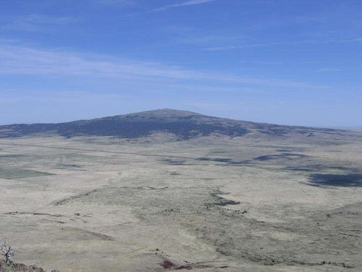
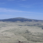
Climbed SG about 3 years ago. Be sure and request permission from the owners (the Wolfe's) prior to hiking since most of the mountain is privately owned. I approached it from the north side off Rt 64 onto Amsdad Rd. and after talking with owners drove closer to the base and the start of the trail. Very consistent grade to the summit - no special skills needed. There is a large antennae array at the top which I had concern for as far a radiation but the owner said she rides up all the time with her horse so I guess it's not an issue. You'll have a great view of Capulin just to the north and everything else within a 100 mile radius. You might make out Black Mesa in NW Oklahoma 60 miles east (another mild climb!).
Enjoy!!
2013-05-18 |
Click here to read 1 more climbing note for Sierra Grande or submit your own
|
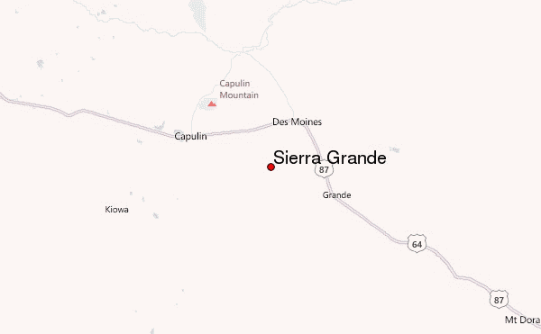
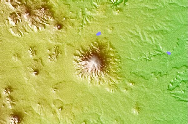
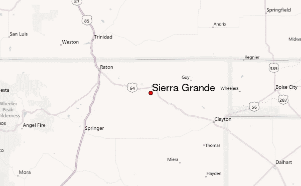
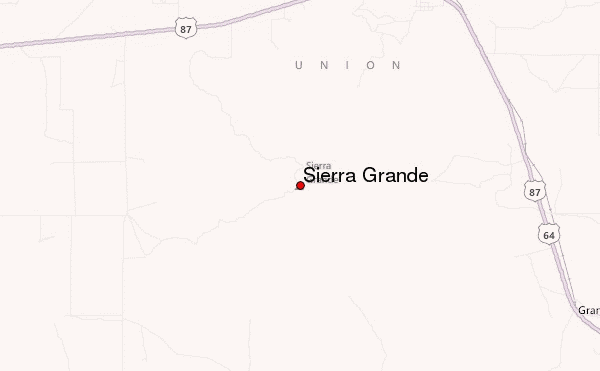
Select Sierra Grande Location Map Detail:
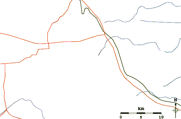
Use this relief map to navigate to mountain peaks in the area of Sierra Grande.
10 other mountain peaks closest to Sierra Grande:
 Sierra Grande – Climbing, Hiking & Mountaineering information