– Lat/Long: 36.50° N 104.30° W
 Raton-Clayton volcanic field – Climbing, Hiking & Mountaineering information

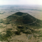
Raton-Clayton volcanic field Guide

- Elevation: 1550
- Difficulty: -
- Best months to climb: -
- Convenient center: -
Raton-Clayton volcanic field climbers NotesBe the first to submit your climbers note! Please submit any useful information about climbing Raton-Clayton volcanic field that may be useful to other climbers. Consider things such as access and accommodation at the base of Raton-Clayton volcanic field, as well as the logistics of climbing to the summit. |
| Select a
mountain summit from the menu |
||
|
Select a Mountain Summit
|
||
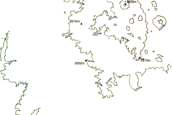
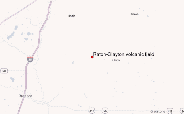
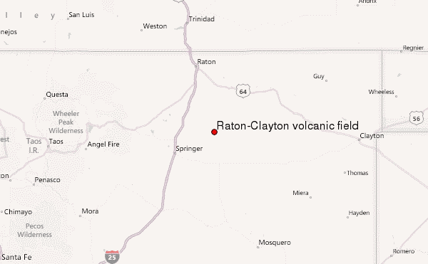
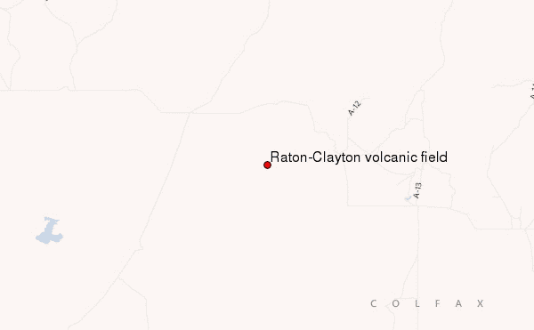
Use this relief map to navigate to mountain peaks in the area of Raton-Clayton volcanic field.
10 other mountain peaks closest to Raton-Clayton volcanic field:
| 1. | Raton-clayton (3350 m) | 21.6 km |
| 2. | Sierra Grande (2658 m) | 44.3 km |
| 3. | Ocate volcanic field (1800 m) | 58.5 km |
| 4. | Tooth Of Time (2744 m) | 63.1 km |
| 5. | Black Mountain (New Mexico) (3320 m) | 69.0 km |
| 6. | Ocate Peak (2377 m) | 75.9 km |
| 7. | Mount Phillips (New Mexico) (3579 m) | 77.0 km |
| 8. | Mt Phillips (3 m) | 77.2 km |
| 9. | Baldy Mountain (Colfax County, New Mexico) (3792 m) | 82.9 km |
| 10. | Angel Fire Bike Park (3247 m) | 86.4 km |