Tolbachik climbing note, July 2018
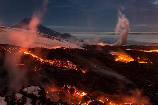
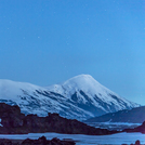
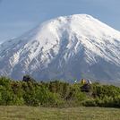
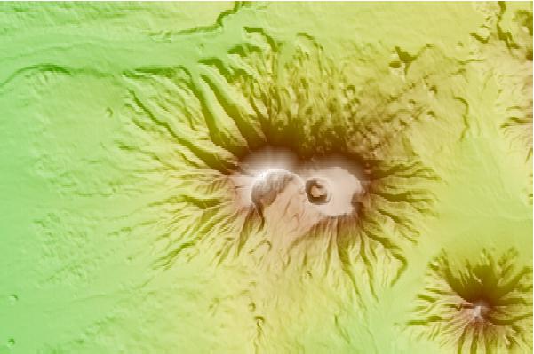
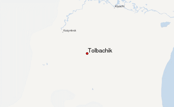
„Tolbachik“ in reality are two different mountains: the dormant older volcano „Sharp Tolbachik – Ostry Tolbachik“ (3.672m, west) is closely intertwined with the very active „Flat Tolbachik – Plosky Tolbachik“ (3.085m, east). Only the „Flat Tolbachik“ is climbed. Access is complex: one day drive from Petroplavlovsk north (500km) to the village of Kosyrevsk. Here you find only few shops and Maria's Guesthouse for sleeping. Next day you drive with 4-or 6-WD 70 km south-east to reach the base camp area in the „dead forests“ south of Tolbachik (at 600m above sea level). One has to leave Kosyrevsk early to cross rivers before the meltwaters from the mountains lift the levels of river waters and might force you to wait for the next day. In the „dead forest“ area, created by giant lava flows of Tolbachik in 1975/76 and again 2012/13, are many hikers groups, mainly Russians, most of them with no intention to climb the caldera of Plosky Tolbachik.
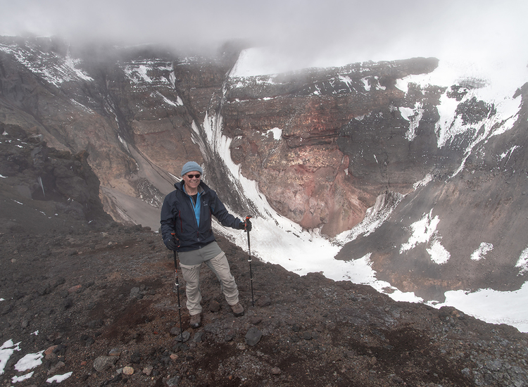
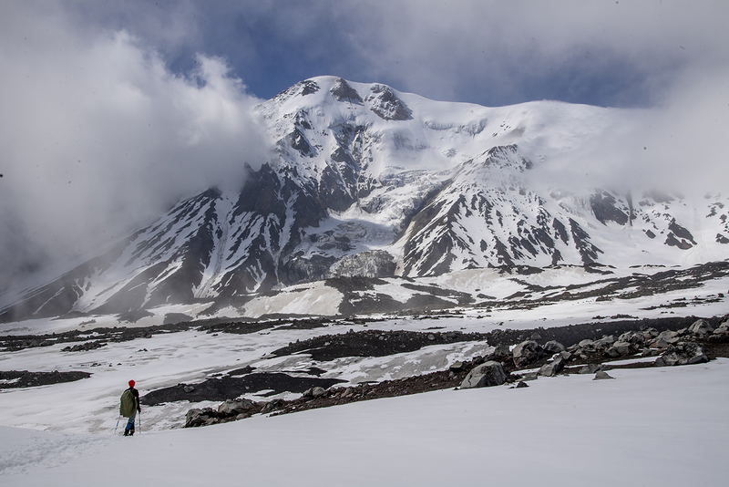
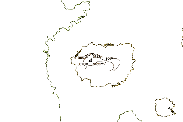
Hence, the hike to the peak can start only three days after leaving Petropavlovsk, or even later. The starting point at the latest lava flows at 1.400m, called Kleshnya, is a 45 minutes 6-WD-bus ride (or 10 km) north of the „dead forest“ through moon-like ash fields and slopes. From here it is a 12 km hike further north, with 1.500 m uphill to the lowest entry point of the crater rim. We did it in 5:50 hrs. The way downhill was faster, 4:40hrs. The active caldera has a diameter of 1.700m and depth of 400m.
The trail is in large parts invisible, though nowhere technically difficult. Without a guide, you can follow it by GPS, only.
Remaining snow fields in the hiking season (July, August, early September) are wet and warm, no crampons needed. A must around Tolbachik, as everywhere on Kamchatka, is a mesh protection against mosquitoes that covers head and shoulder completely.
Given the complexity of access to this mountain with a need for special cars, but also the high risk of meeting Kamchatka Brown Bears my recommendation clearly is to join an organized tour. Doing it alone is possible, but has a lot of real risks and requires – in any case – food for 2 or 3 weeks as well as knowledge about sudden mountain weather changes and the behavior of bears. While we watched one bear family only from the bus on the road to Kosyrevsk, the whole area around Tolbachik was full of fresh bear foot prints.
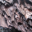
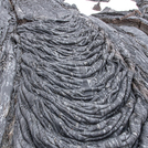
The tundra (and taiga) around Tolbachik is abundant with flowering plants which in these overwhelming numbers are hard to find anywhere else on this planet. The lava flows show a broad variety of lava forms and even lava caves, which could be visited in case of bad weather.
 Tolbachik – Climbing, Hiking & Mountaineering information
