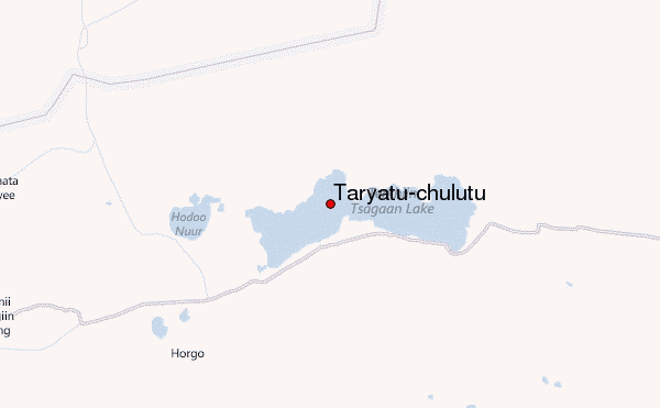
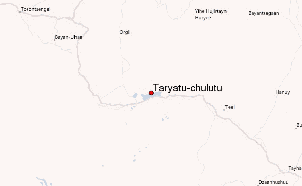
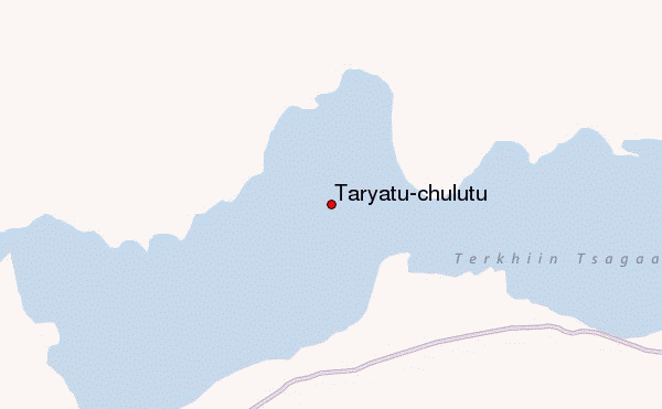
– Lat/Long: 48.17° N 99.70° E
 Taryatu-chulutu – Climbing, Hiking & Mountaineering information

Taryatu-chulutu Guide
- Elevation: 2400
- Difficulty: -
- Best months to climb: -
- Convenient center: -
Taryatu-chulutu climbers NotesBe the first to submit your climbers note! Please submit any useful information about climbing Taryatu-chulutu that may be useful to other climbers. Consider things such as access and accommodation at the base of Taryatu-chulutu, as well as the logistics of climbing to the summit. |
| Select a
mountain summit from the menu |
||
|
Select a Mountain Summit
|
||
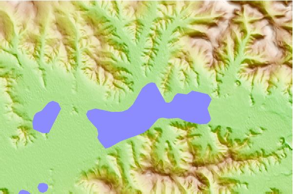
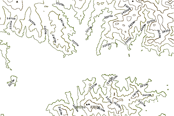
Use this relief map to navigate to mountain peaks in the area of Taryatu-chulutu.
10 other mountain peaks closest to Taryatu-chulutu:
| 1. | Otgontenger (4008 m) | 172.1 km |
| 2. | Khanuy Gol (1886 m) | 232.0 km |
| 3. | Khandjit Khad (Ханджит Хан) (3077 m) | 273.7 km |
| 4. | Ikh Uul (2961 m) | 283.3 km |
| 5. | Delgerkhaan Uul (3093 m) | 288.7 km |
| 6. | Khuern Uul (3020 m) | 327.5 km |
| 7. | Hasagt Hairhan (3578 m) | 331.1 km |
| 8. | Bat Khan Mountain (2178 m) | 353.6 km |
| 9. | Ikh Bogd (3957 m) | 355.7 km |
| 10. | Burhan Buudai (3765 m) | 356.9 km |