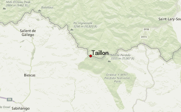
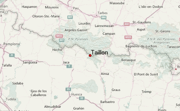
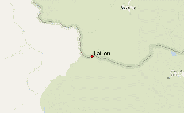
– Lat/Long: 42.69° N 0.05° W
 Taillon (Pic du Taillon) – Climbing, Hiking & Mountaineering information

Taillon Guide
- Elevation: 3147
- Difficulty: Walk up
- Best months to climb: May, June, July, August, September
- Convenient center: Gavernie
Taillon climbers NotesBe the first to submit your climbers note! Please submit any useful information about climbing Taillon that may be useful to other climbers. Consider things such as access and accommodation at the base of Taillon, as well as the logistics of climbing to the summit. |
| Select a
mountain summit from the menu |
||
|
Select a Mountain Summit
|
||
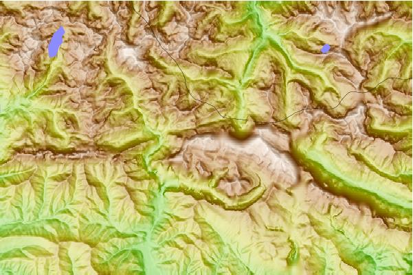
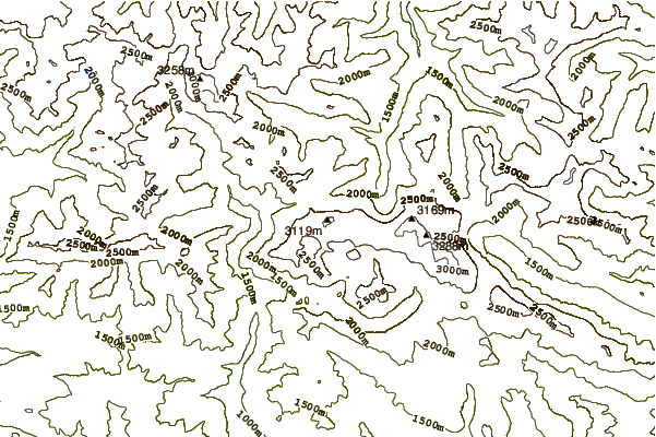
Use this relief map to navigate to mountain peaks in the area of Taillon.
10 other mountain peaks closest to Taillon:
| 1. | Cabaña de Eléctricas (2020 m) | 2.6 km |
| 2. | Refugio ELECTRICAS (2010 m) | 2.6 km |
| 3. | Refugio ESCUSANETA LA (1900 m) | 3.7 km |
| 4. | Refugio Sandaruelo (1680 m) | 3.9 km |
| 5. | Refugio de Bujaruelo (1338 m) | 4.5 km |
| 6. | Refugio BUJARUELO (1335 m) | 4.5 km |
| 7. | Refugio FAJ GUASA (1580 m) | 5.2 km |
| 8. | Refugio CADIERA (1619 m) | 5.2 km |
| 9. | Refugio Calcilarruego (1860 m) | 5.8 km |
| 10. | Cilindro de Marboré (3328 m) | 6.2 km |