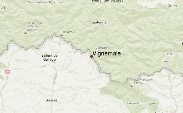
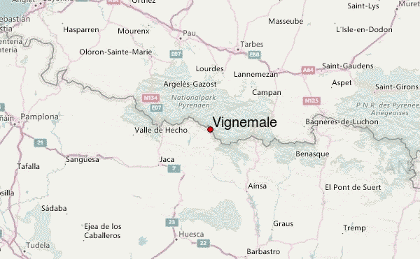
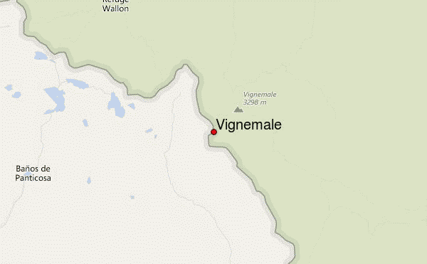
– Lat/Long: 42.77° N 0.15° W
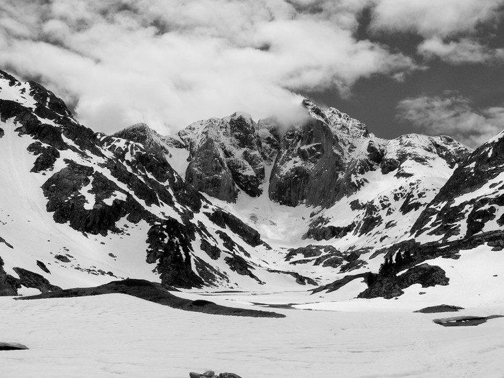
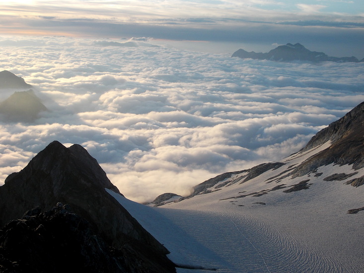
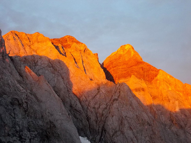
 Vignemale – Climbing, Hiking & Mountaineering information

Vignemale Guide
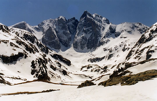
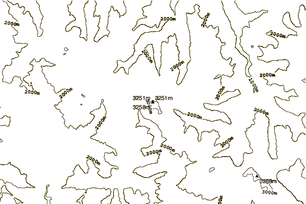
- Elevation: 3298
- Difficulty: Basic Snow and Ice Climb
- Best months to climb: -
- Convenient center: Cauterets, France, Torla, Spain
Vignemale climbers Notes
|

| Select a
mountain summit from the menu |
||
|
Select a Mountain Summit
|
||
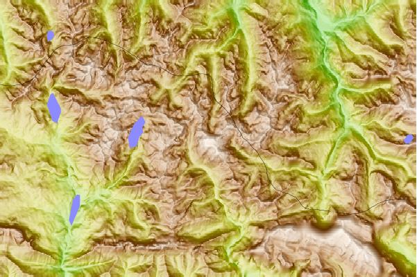
Use this relief map to navigate to mountain peaks in the area of Vignemale.
10 other mountain peaks closest to Vignemale:
| 1. | Refugio de Cerbillonar (1800 m) | 2.9 km |
| 2. | Refugio BRAZATO (2220 m) | 5.9 km |
| 3. | Refugio del Vado de Ordiso (1610 m) | 5.9 km |
| 4. | Refugio de Bachimaña Alto (2220 m) | 6.3 km |
| 5. | Refugio Bachimaña (2180 m) | 6.5 km |
| 6. | Refugio Casa de Piedra (1636 m) | 7.0 km |
| 7. | Yenefrito (1860 m) | 8.4 km |
| 8. | Refugio YENEFRITO (1860 m) | 8.6 km |
| 9. | Refugio Sandaruelo (1680 m) | 8.9 km |
| 10. | Refugio OTAL (1642 m) | 9.2 km |
