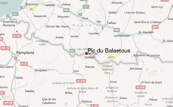
– Lat/Long: 42.84° N 0.29° W
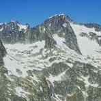
 Pic du Balaïtous (Pic du Balaetous) – Climbing, Hiking & Mountaineering information

Pic du Balaïtous Guide
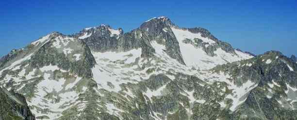
- Elevation: 3144
- Difficulty: -
- Best months to climb: -
- Convenient center: -
Pic du Balaïtous climbers NotesBe the first to submit your climbers note! Please submit any useful information about climbing Pic du Balaïtous that may be useful to other climbers. Consider things such as access and accommodation at the base of Pic du Balaïtous, as well as the logistics of climbing to the summit. |
| Select a
mountain summit from the menu |
||
|
Select a Mountain Summit
|
||
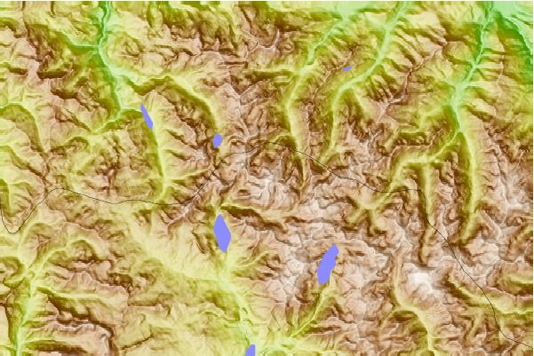
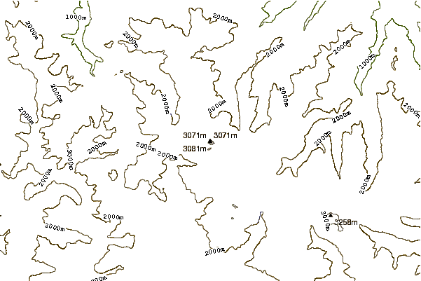
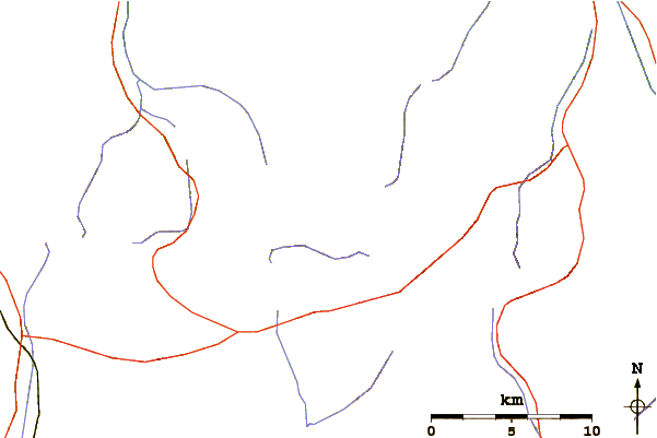
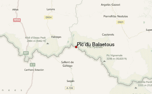
Use this relief map to navigate to mountain peaks in the area of Pic du Balaïtous.
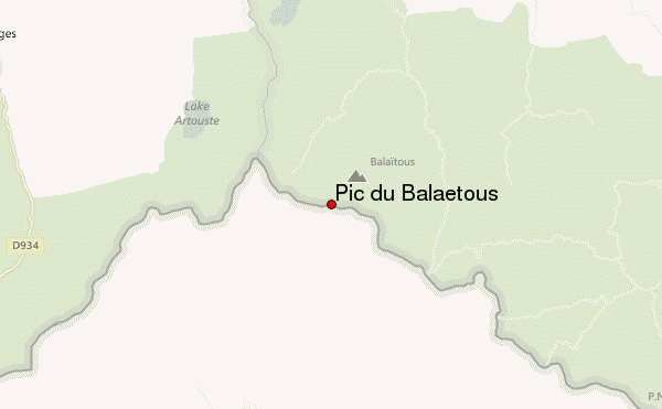
10 other mountain peaks closest to Pic du Balaïtous:
| 1. | Abrigo Michaud (2700 m) | 0.6 km |
| 2. | Balaitous (3146 m) | 1.3 km |
| 3. | Refugio de Respomuso (2200 m) | 2.3 km |
| 4. | Refugio ALFONSO XIII (2140 m) | 2.9 km |
| 5. | Refugio de Campoplano (2200 m) | 3.0 km |
| 6. | Refugio de Bachimaña Alto (2220 m) | 7.9 km |
| 7. | Refugio Bachimaña (2180 m) | 8.4 km |
| 8. | Refugio Casa de Piedra (1636 m) | 9.6 km |
| 9. | Bike Park D’Artouste (987 m) | 10.6 km |
| 10. | Refugio BRAZATO (2220 m) | 11.7 km |