Taga Guide
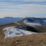
Taga
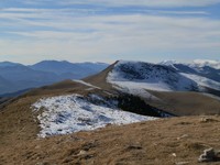
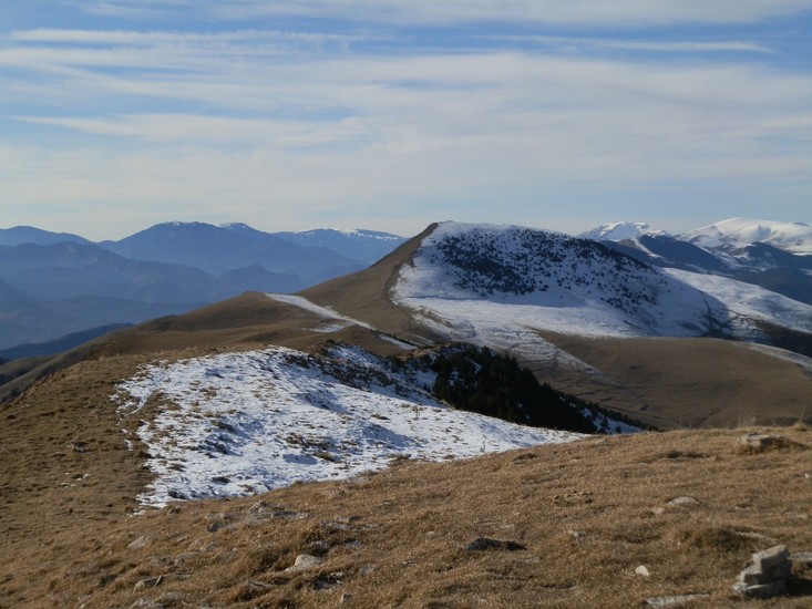
Photo credit: Josep Emili
- Elevation: 2040
- Difficulty: Walk up
- Best months to climb: January, February, March, April, May, June, July, August, September, October, November, December
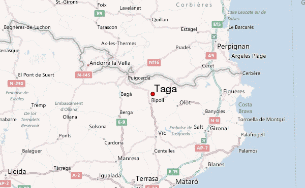
- Convenient center: Sant Joan Abadesses / Ribes de Freser
Taga climbers Notes
Lluis Vilanova from SPAIN writes:
Very nice and green mountain, to climb with all the family. The most easy way is from Coll de Jou ( 400 m up, 45 minutes). In winter can have snow and the roads be closed to the traffic. Usually, no danger of avalanches.
2019-10-29 |
Click here to submit your own climbing note for Taga
|
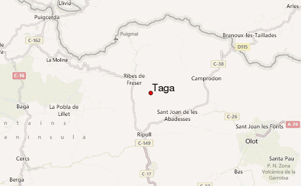
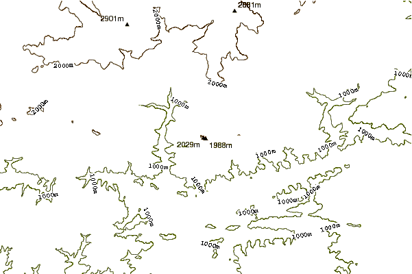
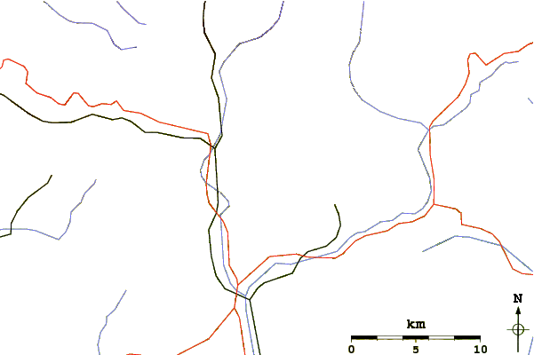
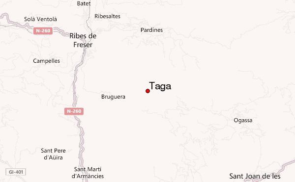
Select Taga Location Map Detail:
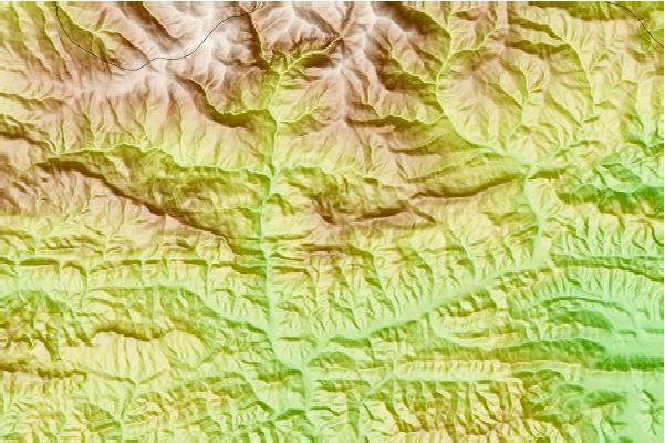
Use this relief map to navigate to mountain peaks in the area of Taga.
10 other mountain peaks closest to Taga:
 Taga – Climbing, Hiking & Mountaineering information