– Lat/Long: 42.26° N 2.21° E
 Sant Amand – Climbing, Hiking & Mountaineering information

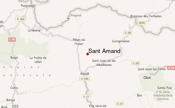
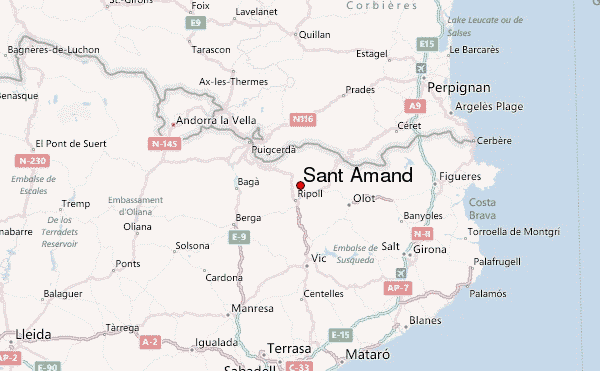
Sant Amand Guide
- Elevation: 1851
- Difficulty: -
- Best months to climb: -
- Convenient center: -
Sant Amand climbers NotesBe the first to submit your climbers note! Please submit any useful information about climbing Sant Amand that may be useful to other climbers. Consider things such as access and accommodation at the base of Sant Amand, as well as the logistics of climbing to the summit. |
| Select a
mountain summit from the menu |
||
|
Select a Mountain Summit
|
||
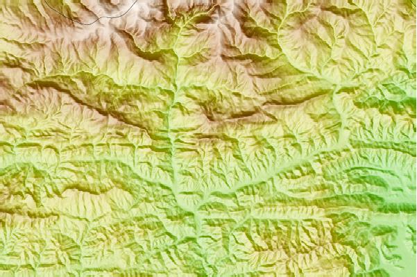
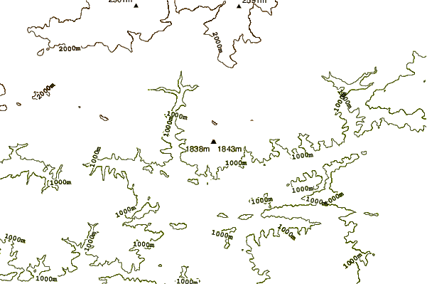
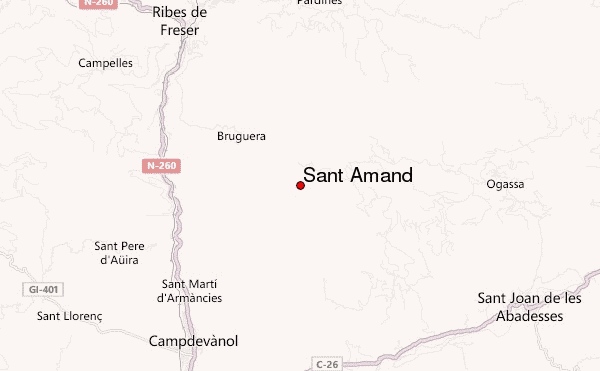
Use this relief map to navigate to mountain peaks in the area of Sant Amand.
10 other mountain peaks closest to Sant Amand:
| 1. | Refugio Forestal de Sant Jordi (1600 m) | 0.7 km |
| 2. | Taga (2040 m) | 1.8 km |
| 3. | Puig Estela (2013 m) | 4.4 km |
| 4. | Refugio de Montserrat (1627 m) | 7.0 km |
| 5. | Refugio del Pla de prats (1560 m) | 7.4 km |
| 6. | Refugi Pla d'Erola (1524 m) | 8.0 km |
| 7. | Refugio de la Covil (1779 m) | 8.7 km |
| 8. | Refugi de Planelles (1390 m) | 10.0 km |
| 9. | Refugio Corral Blanc Panoles (1815 m) | 11.3 km |
| 10. | Balandrau (2585 m) | 11.7 km |