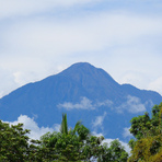
Tacana Guide
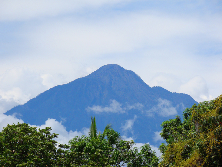
Tacana
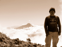
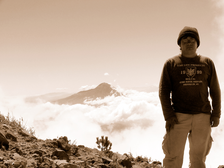
Photo credit: Armando Martinez Guarneros
- Elevation: 4092
- Difficulty: Walk up
- Best months to climb: January, February, October, November, December
- Convenient center: Tacana, San Marcos
Tacana climbers Notes
Julien Armijo from GUATEMALA writes:
Tacana can be climbed from either Mexico or Guatemala.
From Guatemala, the hike starts at 3000 m at the locality called "Haciendita" where you could camp and hire a guide (not necessary)
This is 40m drive on bad dirt roads from Sibinal. The trail is very clear, and sadly, in January 2022, was covered with rubish to the top.
A camp site with a family selling food can be found on a flat part about halfway up. 15 min before the top, another similar camp site also selling food and drinks. Sadly, the whole trail up to the summit was badly covered with litter and garbage of all kinds. Despite this, wonderful forest and sights.
2022-01-12 |
Click here to read 1 more climbing note for Tacana or submit your own
|
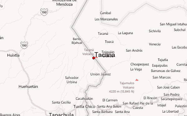
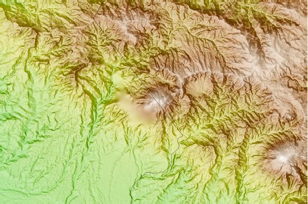
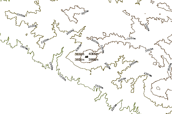
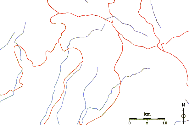
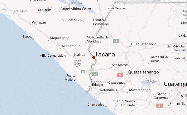
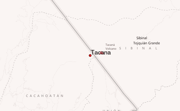
Select Tacana Location Map Detail:
Use this relief map to navigate to mountain peaks in the area of Tacana.
10 other mountain peaks closest to Tacana:
 Tacana – Climbing, Hiking & Mountaineering information