 Volcán Santo Tomás (Santo Tomas) – Climbing, Hiking & Mountaineering information

Volcán Santo Tomás Guide
- Elevation: 3505
- Difficulty: Walk up
- Best months to climb: January, February, November, December
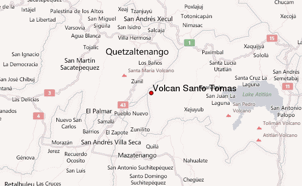
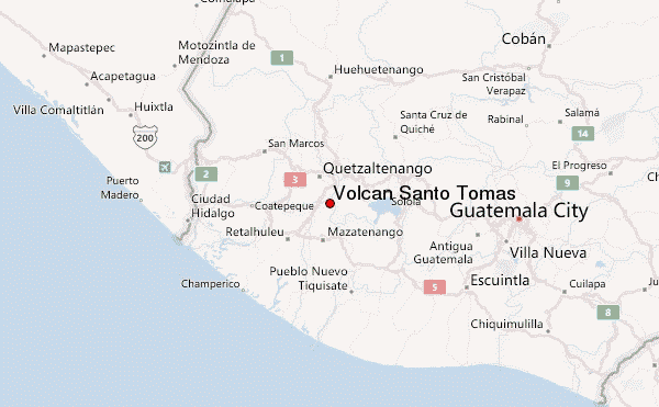
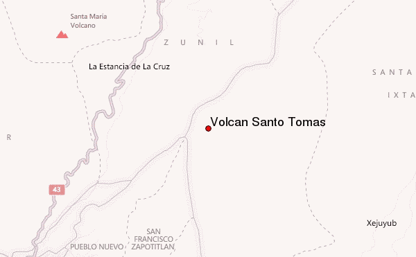
- Convenient center: Zunil, Quetzaltenango
Santo Tomas is a very old and eroded remnant of a volcano. The climb takes at least four hours, through dense sub tropical rainforest, and then through beautiful pine forests. Trais starts at the famous "Fuentes Geroginas," a beautiful hot water spring, ideal for a dip after the climb. View from the summit is very good, especially view of lake Atitlan and the Quetzaltenango highlands. Email me for more info.
Volcán Santo Tomás climbers NotesBe the first to submit your climbers note! Please submit any useful information about climbing Volcán Santo Tomás that may be useful to other climbers. Consider things such as access and accommodation at the base of Volcán Santo Tomás, as well as the logistics of climbing to the summit. |
| Select a
mountain summit from the menu |
||
|
Select a Mountain Summit
|
||
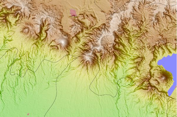
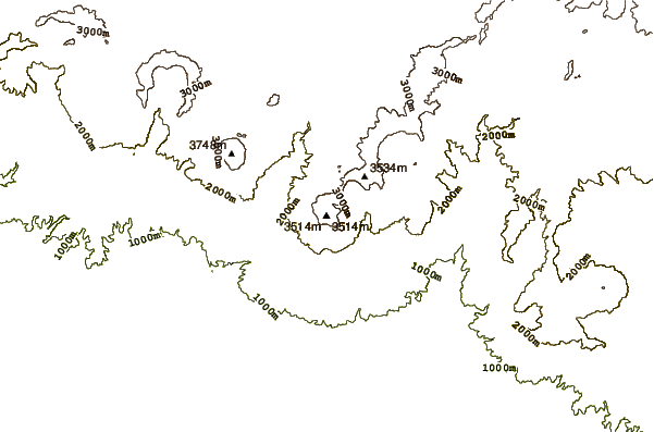
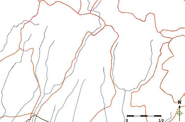
Use this relief map to navigate to mountain peaks in the area of Volcán Santo Tomás.
10 other mountain peaks closest to Volcán Santo Tomás:
| 1. | Volcán Santo Tomás (3542 m) | 0.0 km |
| 2. | Zunil or Volcan De Tzanjuyub (3542 m) | 6.9 km |
| 3. | Santa María (volcano) (3772 m) | 9.4 km |
| 4. | Almolonga (3197 m) | 12.2 km |
| 5. | Volcán Siete Orejas (3370 m) | 19.0 km |
| 6. | Santa Clara (2402 m) | 21.1 km |
| 7. | Cerro de Coxóm (3045 m) | 21.5 km |
| 8. | Volcán San Pedro (3018 m) | 23.6 km |
| 9. | Toliman (3158 m) | 33.0 km |
| 10. | Atitlan (3537 m) | 34.6 km |