Sparruhorn Guide
- Elevation: 2988
- Difficulty: -
- Best months to climb: -
- Convenient center: -
Sparruhorn climbers Notes
RobSofMar from THE NETHERLANDS writes:
Sparruhorn is easily accessible if you start at Blatten and take the aerial cableway to Belalp (to approx. 2100m) and the total trip takes about 4,5 hrs.
It is an interesting and fun walk all the way up to the top. You start at a broad path going towards a hotel and from there the path is much smaller and it is very easy to navigate because the cross at the top is visible almost all the way.
It is a mild climb with a few awkward steps if you happen to be walking with young kids. With concentration this is no problem at all.
At some points there is a great view at the Aletsch glacier and from the top the view is superb. The only thing that bothered us during the trip were the ski lifts that were visible during most part of the trip.
All in all quite an easy climb with a great reward at the top and the glacier viewpoints.
Extra info;
Party consisted of 1 adult (41, >10yrs mountaineering experience and two kids aged 9 and 10) and took us 4,5hrs to complete.
2011-09-03 |
Click here to submit your own climbing note for Sparruhorn
|
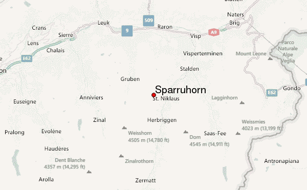
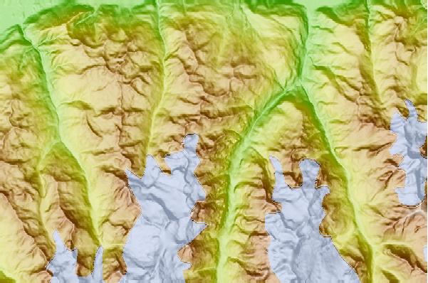
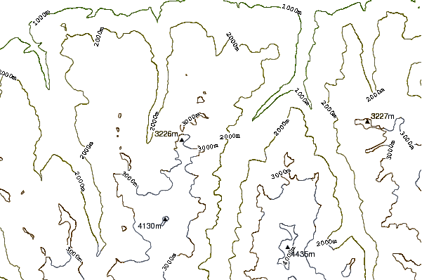
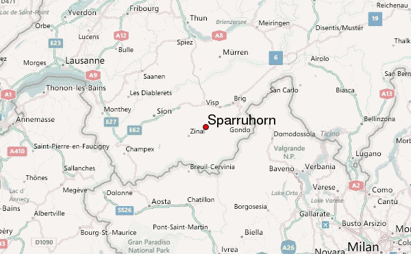
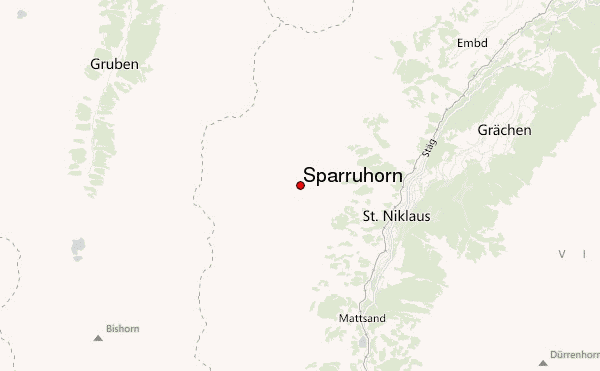
Select Sparruhorn Location Map Detail:
Use this relief map to navigate to mountain peaks in the area of Sparruhorn.
10 other mountain peaks closest to Sparruhorn:
 Sparruhorn – Climbing, Hiking & Mountaineering information