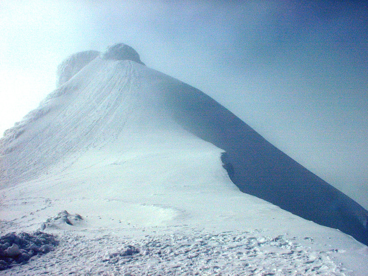
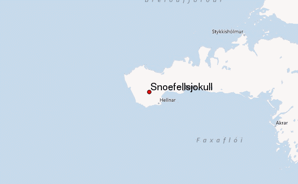
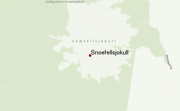
Snæfellsjökull Guide
- Elevation: 1446
- Difficulty: -
- Best months to climb: -
- Convenient center: -
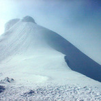
Snæfellsjökull climbers Notes
vaccaro from FRANCE writes:
Ascension realisé début juillet, neige de printemps du debut du glacier jusqu´au sommet , pas de difficulté particuliére ormis l'inclinaison de la pente de l'ordre de 30% sur 3Km, suivre la piste de 4*4 . Attention au possible crevasse , trés bonne condition physique requise
2024-07-08 |
Click here to submit your own climbing note for Snæfellsjökull
|
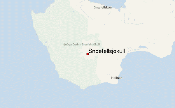
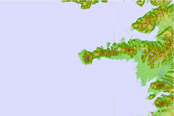
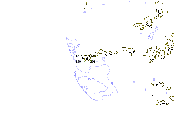
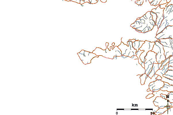
Select Snæfellsjökull Location Map Detail:
Use this relief map to navigate to mountain peaks in the area of Snæfellsjökull.
10 other mountain peaks closest to Snæfellsjökull:
 Snæfellsjökull (Snoefellsjokull) – Climbing, Hiking & Mountaineering information