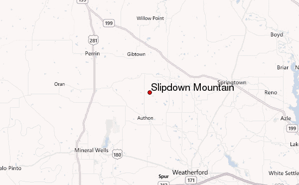
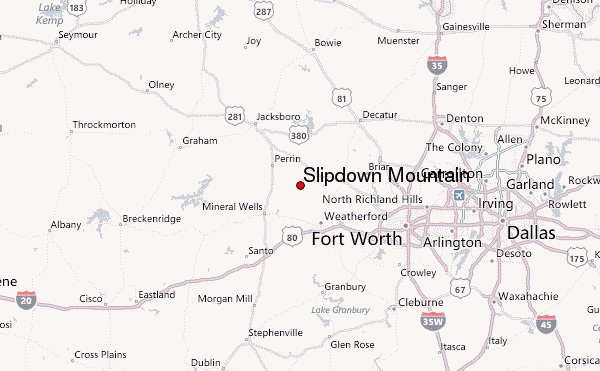
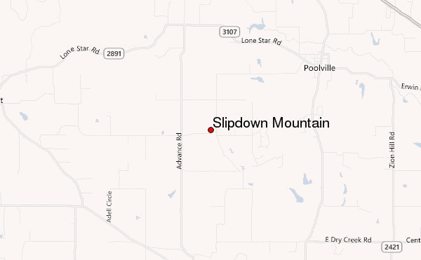
– Lat/Long: 32.94° N 97.91° W
 Slipdown Mountain – Climbing, Hiking & Mountaineering information

Slipdown Mountain Guide
- Elevation: 417
- Difficulty: -
- Best months to climb: -
- Convenient center: -
Slipdown Mountain climbers NotesBe the first to submit your climbers note! Please submit any useful information about climbing Slipdown Mountain that may be useful to other climbers. Consider things such as access and accommodation at the base of Slipdown Mountain, as well as the logistics of climbing to the summit. |
| Select a
mountain summit from the menu |
||
|
Select a Mountain Summit
|
||

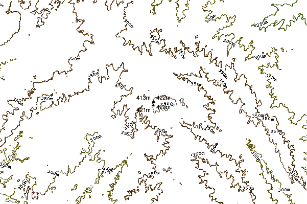
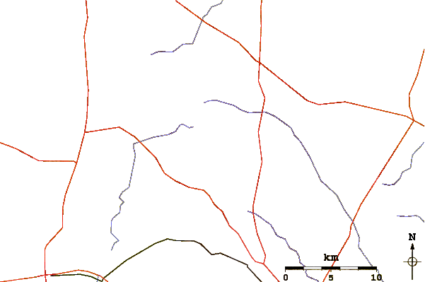
Use this relief map to navigate to mountain peaks in the area of Slipdown Mountain.
10 other mountain peaks closest to Slipdown Mountain:
| 1. | Palo Pinto Mountains (448 m) | 65.3 km |
| 2. | Tackett Mountain (Texas) (398 m) | 81.3 km |
| 3. | Mt Scott (751 m) | 208.4 km |
| 4. | Mount Pinchot (755 m) | 221.2 km |
| 5. | Double Mountain (Texas) (786 m) | 237.1 km |
| 6. | Spider Mountain Bike Park (435 m) | 238.1 km |
| 7. | Quartz Mountain (622 m) | 254.3 km |
| 8. | Spy Rock (Mason County, Texas) (533 m) | 256.0 km |
| 9. | Station Mountain Bike Park (404 m) | 258.0 km |
| 10. | Packsaddle Mountain (Llano County, Texas) (496 m) | 264.6 km |