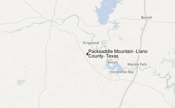
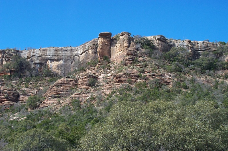
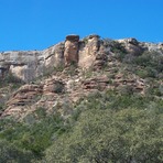
Packsaddle Mountain (Llano County, Texas) Guide
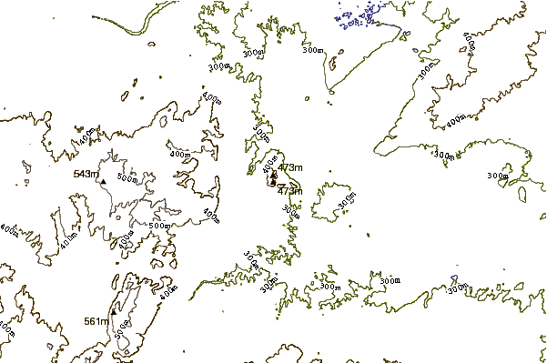
- Elevation: 496
- Difficulty: -
- Best months to climb: -
- Convenient center: -
Packsaddle Mountain (Llano County, Texas) climbers Notes
ed from UNITED STATES writes:
First i would l would like to tell who ever runs this site to take Packsaddle of this places to hike .Here is why this is private property and just like your backyard or home if your caught trespassing you will go to jail,just like the last hikers and got to spend a night in jail.There is signs
posted for no trespassing and in Texas any property fenced in is considered private.My suggestion would be look up Texas Parks Wildlife find some public land to go hiking.
thank you
[Editor replies. First, much of the world is privately owned and in such cases the public can request access from the owner. In the vast majority of cases, land owners are obliging. Second, land title is transient. Topography tends to out-live its owners and many people choose to bequeath marginal steep land to conservation. Third, it is reasonable for someone to simply want to see some mountain and to be interested in whether or not it will be snow-covered: they may not be allowed to visit the mountain at present but meanwhile nobody can prevent them from looking at it. Fourth, the land owners themselves and their private guests may be interested in the weather forecast. Last, in most of the world, trespass is not even a criminal offence. It only becomes a criminal offence if there is criminal damage. Even then, prosecutions leading to incarceration are almost unheard of. Personally, I welcome access to my land as it dispels any notion that there is anything shady going on.]
2018-04-17 |
Click here to read 3 more climbing notes for Packsaddle Mountain (Llano County, Texas) or submit your own
|
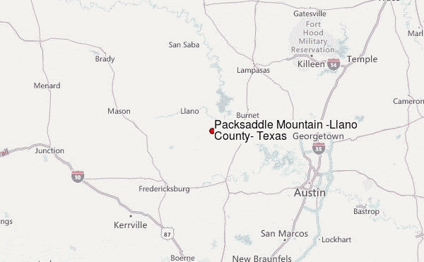
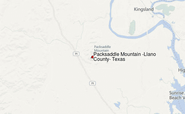
Select Packsaddle Mountain (Llano County, Texas) Location Map Detail:
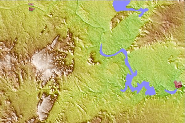
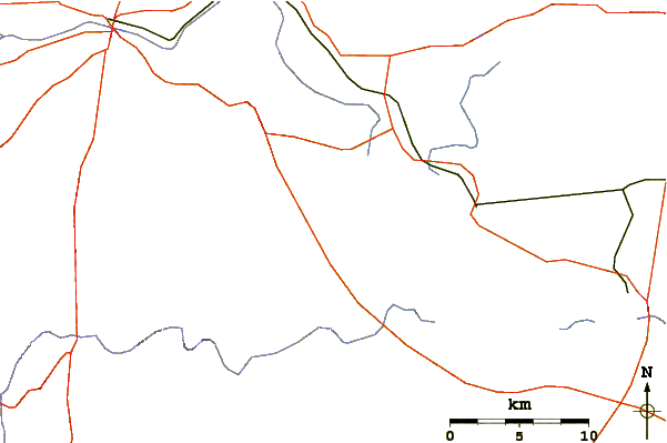
Use this relief map to navigate to mountain peaks in the area of Packsaddle Mountain (Llano County, Texas).
10 other mountain peaks closest to Packsaddle Mountain (Llano County, Texas):
 Packsaddle Mountain (Llano County, Texas) – Climbing, Hiking & Mountaineering information