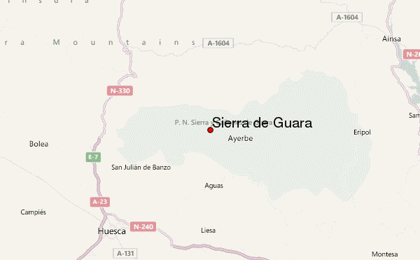
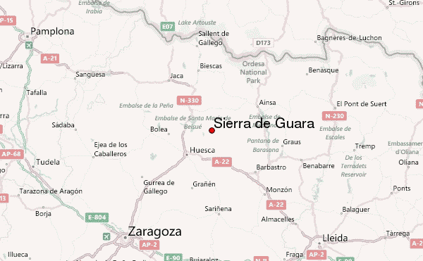
– Lat/Long: 42.28° N 0.22° W
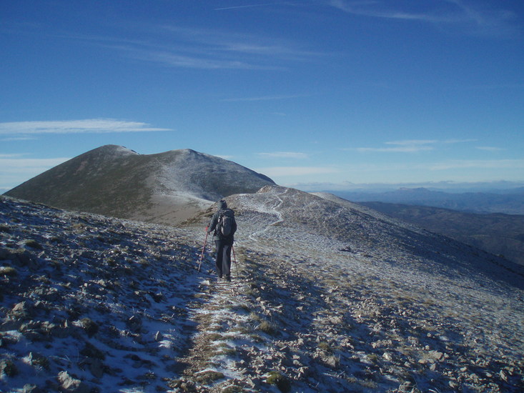
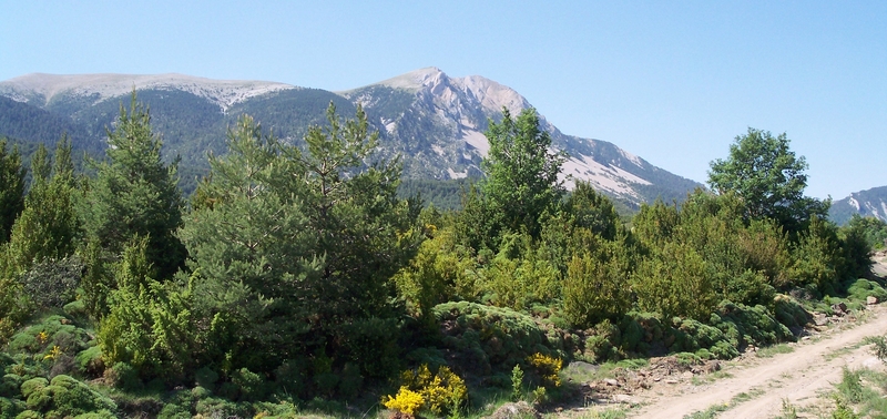
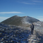
 Sierra de Guara – Climbing, Hiking & Mountaineering information

Sierra de Guara Guide
- Elevation: 2077
- Difficulty: -
- Best months to climb: -
- Convenient center: -
Sierra de Guara climbers NotesBe the first to submit your climbers note! Please submit any useful information about climbing Sierra de Guara that may be useful to other climbers. Consider things such as access and accommodation at the base of Sierra de Guara, as well as the logistics of climbing to the summit. |
| Select a
mountain summit from the menu |
||
|
Select a Mountain Summit
|
||
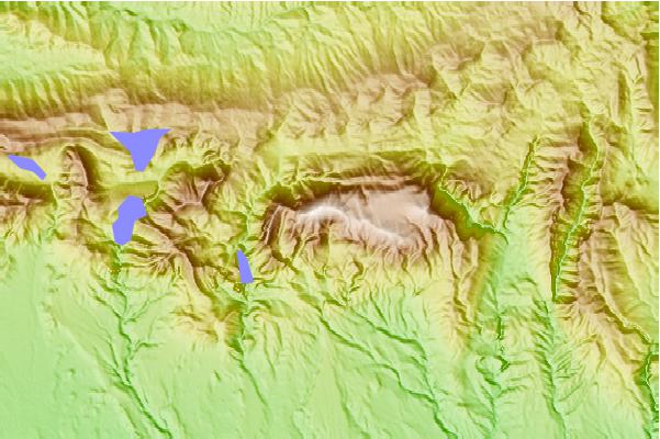
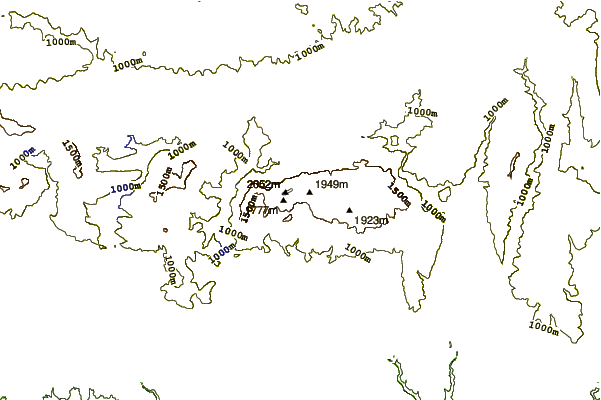
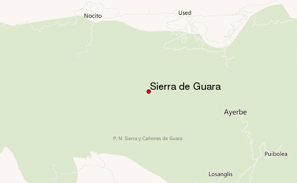
Use this relief map to navigate to mountain peaks in the area of Sierra de Guara.
10 other mountain peaks closest to Sierra de Guara:
| 1. | Refugio FENALES LOS (1409 m) | 2.7 km |
| 2. | Peña Falconera (766 m) | 12.9 km |
| 3. | Meson de Gillué (1000 m) | 17.6 km |
| 4. | Cancias (1997 m) | 21.6 km |
| 5. | Refugio Barranco del Puero (1600 m) | 40.9 km |
| 6. | Refugio de Cuello Arenas (Ordesa) (1900 m) | 41.0 km |
| 7. | Refugio CUELLO ARENAS (1900 m) | 41.1 km |
| 8. | Refugio PLANAS DE ABOZO (1690 m) | 41.5 km |
| 9. | Refugio FAJA LINAS (1720 m) | 41.8 km |
| 10. | Cabaña Barranco del Puerto (1850 m) | 41.9 km |