Semeru Guide
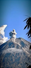
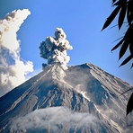
Semeru
Photo credit: Istikmal Arifudin
- Elevation: 3676
- Difficulty: Walk up
- Best months to climb: April, May, June, July, August, September
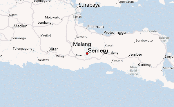
- Convenient center: Malang
Semeru climbers Notes
Indonesia Journey from INDONESIA writes:
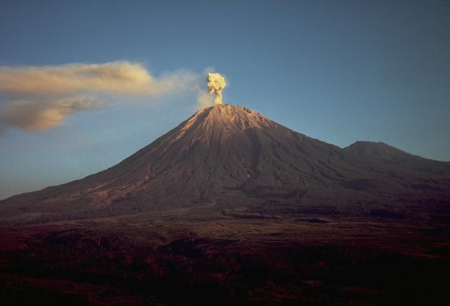
Semeru is the highest volcano in Java island. The entrance gate is Ranupani village (2200 M) or about 3 hrs jeep driving from Tumpang Malang city.
The trek starting from Ranupani is relatively flat to reach Ranukumbolo lake campsite (2400 M). It can be done by 4 hrs trek with easy grade. Continue trek to Kalimati campsite by pass through the pine forest will takes about 4 hrs walking.
On the next path is being challenge starting from Kalimati campsite towards to summit cone. Normally, the summit day start at 02.00 am and will takes about 5 hrs ascend.
Its not allowed to stay camp on the summit because of natural gas from the active crater "Jengrong Seloka".
For more details please visit our website :
INDONESIA JOURNEY
2012-07-06 |
Click here to read 1 more climbing note for Semeru or submit your own
|
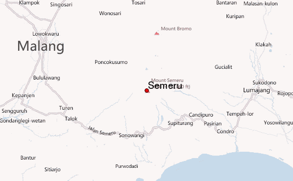
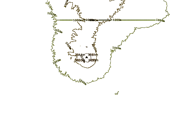
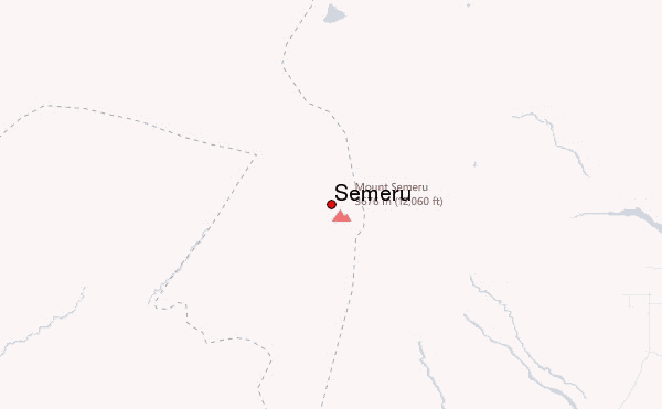
Select Semeru Location Map Detail:
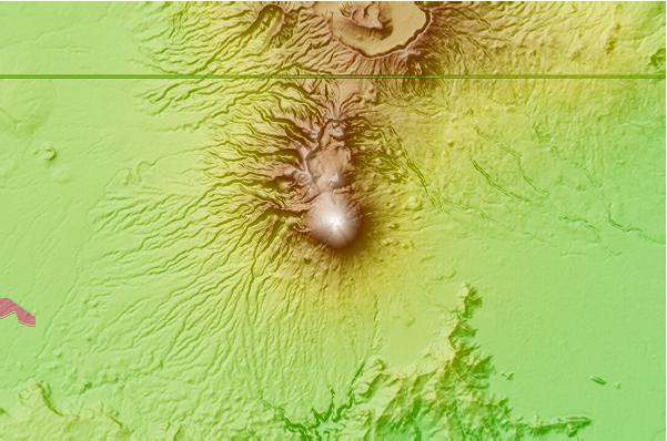
Use this relief map to navigate to mountain peaks in the area of Semeru.
10 other mountain peaks closest to Semeru:
 Semeru – Climbing, Hiking & Mountaineering information
