Arjuno-welirang Guide
- Elevation: 3339
- Difficulty: -
- Best months to climb: -
- Convenient center: -
Arjuno-welirang climbers Notes
ony tjahjono from QATAR writes:
Gentleman,
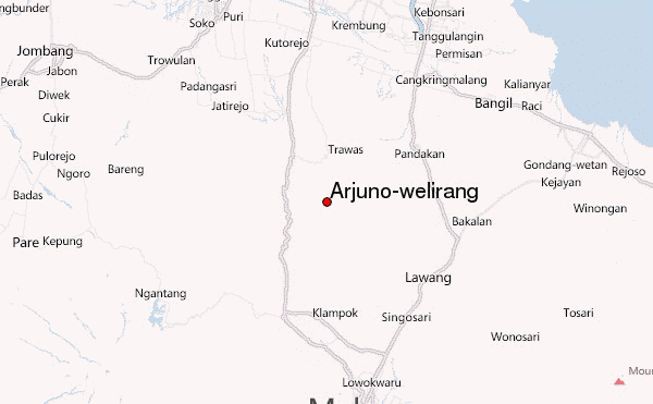
Would you send to me by E-Mail a soft copy detail of map which it is possible to help me and also properly explained to me a route to going and climbing Arjuna mountain from Tretes, East-Java,Indonesia.
I have plan to go there on the range time as of on 20 April 2012 to 6 May 2012 so a proper information is required prior to go to Arjuna mountain.
Thanks for your cooperation and I waiting your reply.
Best regard,
Ony Tjahjono
mobile # +974-66186275, +974-77240308
2012-04-11 |
Click here to read 2 more climbing notes for Arjuno-welirang or submit your own
|
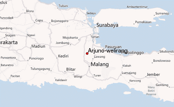
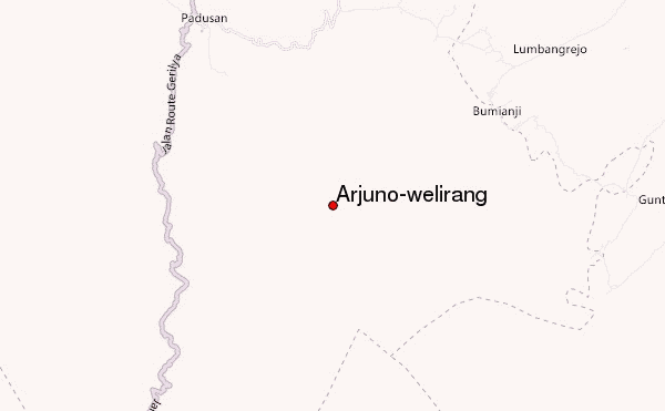
Select Arjuno-welirang Location Map Detail:
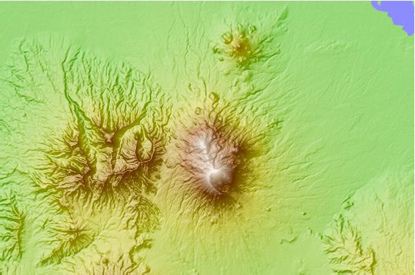
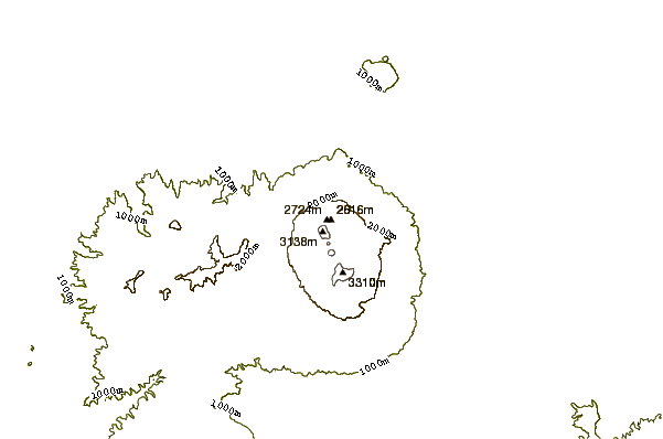
Use this relief map to navigate to mountain peaks in the area of Arjuno-welirang.
10 other mountain peaks closest to Arjuno-welirang:
 Arjuno-welirang – Climbing, Hiking & Mountaineering information