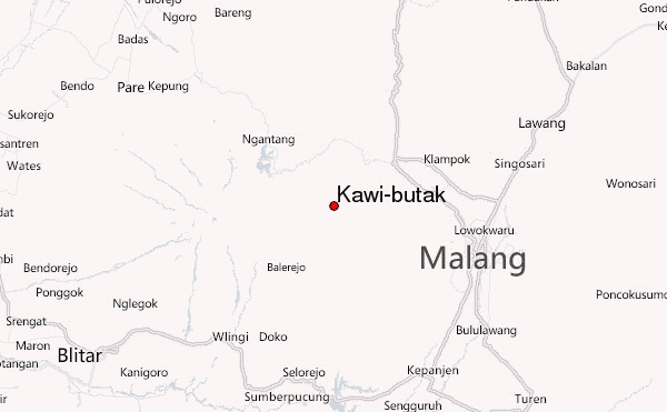
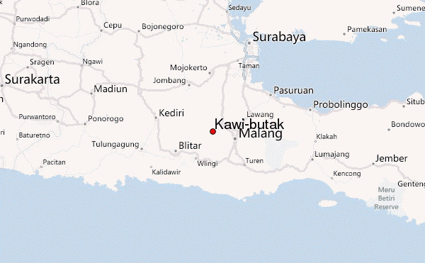
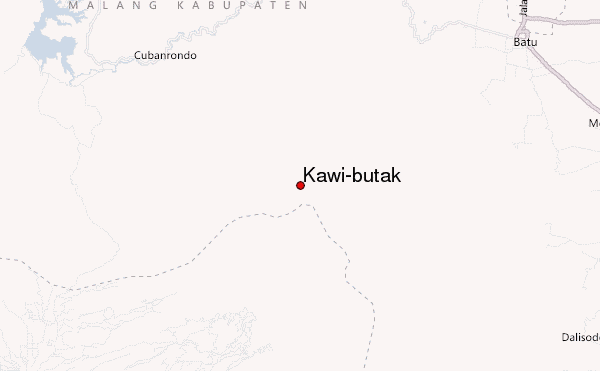
– Lat/Long: 7.92° S 112.45° E
 Kawi-butak – Climbing, Hiking & Mountaineering information

Kawi-butak Guide
- Elevation: 2651
- Difficulty: -
- Best months to climb: -
- Convenient center: -
Kawi-butak climbers NotesBe the first to submit your climbers note! Please submit any useful information about climbing Kawi-butak that may be useful to other climbers. Consider things such as access and accommodation at the base of Kawi-butak, as well as the logistics of climbing to the summit. |
| Select a
mountain summit from the menu |
||
|
Select a Mountain Summit
|
||
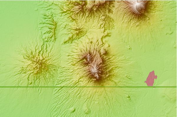
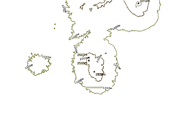
Use this relief map to navigate to mountain peaks in the area of Kawi-butak.
10 other mountain peaks closest to Kawi-butak:
| 1. | Mount Butak (2868 m) | 0.0 km |
| 2. | Mount Kawi (2551 m) | 0.0 km |
| 3. | Kelud (1731 m) | 15.7 km |
| 4. | Kelut (1731 m) | 15.7 km |
| 5. | Arjuno-welirang (3339 m) | 26.0 km |
| 6. | Malang Plain (680 m) | 27.7 km |
| 7. | Mount Penanggungan (1653 m) | 38.8 km |
| 8. | Penanggungan (1653 m) | 38.8 km |
| 9. | Mount Bromo (2329 m) | 55.2 km |
| 10. | Tengger Caldera (2329 m) | 55.2 km |