Potosi Mountain Guide
- Elevation: 2596
- Difficulty: -
- Best months to climb: -
- Convenient center: -
Potosi Mountain climbers Notes
Fred Kraus from UNITED STATES writes:
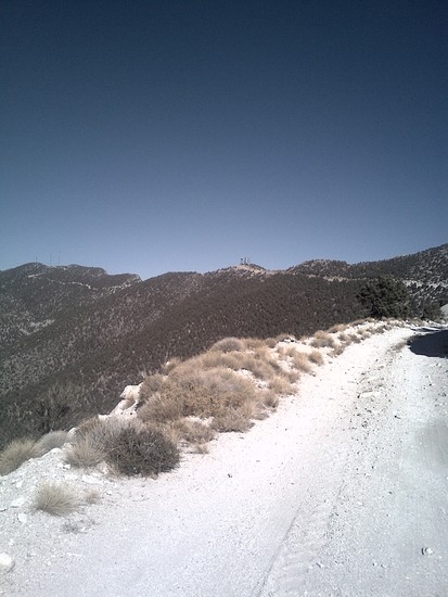
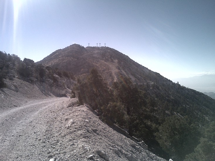
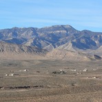
Nov 16, 2013. Approach is from east. Exit I-15 at Jean towards Goodsprings. R on by-pass road avoiding GS. At gate blocking further travel on paved road turn L on dirt road for 2 miles to another gate where hike starts at about 5,400' and goes up an access road about 3K elevation gain to cell phone and radio towers at summit. First 2 miles is steep and mostly paved. Hiking poles good idea for ascent and descent. At about 2 miles, road crosses over to west side, becomes dirt road with gentle incline with a little up and down. Road forks to the R after about a mile to head up to cell phone towers on ridge. Stay L. In about another mile road leads up to another set of cell phone towers at the top of ridge. Great views of LV Strip and Red Rock Canyon. Trail continues down and then back up to a set of radio towers at north end of summit ridge.
2013-11-19 |
Click here to submit your own climbing note for Potosi Mountain
|
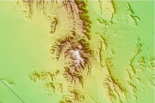
Select Potosi Mountain Location Map Detail:
Use this relief map to navigate to mountain peaks in the area of Potosi Mountain.
10 other mountain peaks closest to Potosi Mountain:
 Potosi Mountain – Climbing, Hiking & Mountaineering information