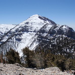
Mount Charleston Guide
- Elevation: 3633
- Difficulty: Walk up
- Best months to climb: March, April, May, June, July, August, September, October, November
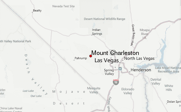
- Convenient center: Las Vegas, Nevada
Mount Charleston climbers Notes
Jonathan Silveira from UNITED STATES writes:
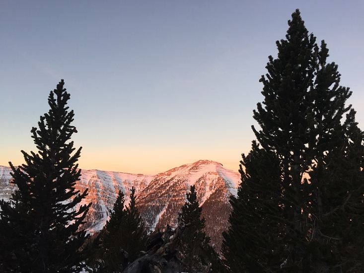
Climbing Mt Charleston when it has snow is very difficult because the rangers close access as soon as it gets the first heavy snow of the year. If you blink, you lose your chance.
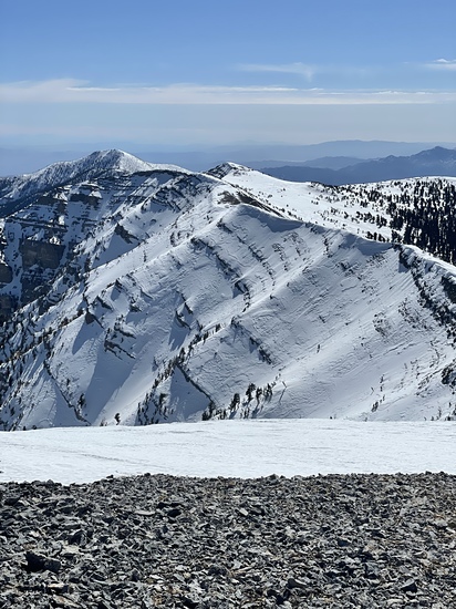
Climbing Mt Charleston otherwise is just a matter of being in good shape and having proper supplies (water and food). From the South Loop, I can make it to the ridge in 2 hours, then 2 more hours to the peak.
Starting from Trail Canyon, it took me about 5 hours to get to the peak.
You can start from the North Loop (Deer Creek Rd), but that increases the distance by about 3 to 4 miles if I remember correctly. I believe this is the only way up that is not closed during the winter.
2022-12-22 |
Click here to read 1 more climbing note for Mount Charleston or submit your own
|
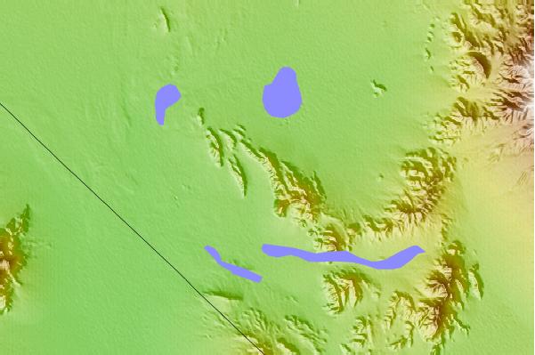
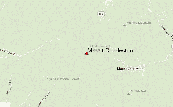
Select Mount Charleston Location Map Detail:
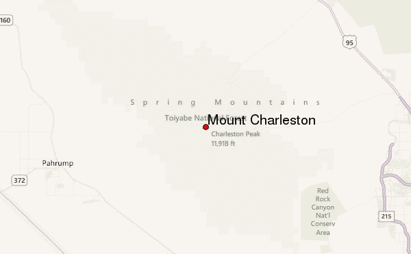
Use this relief map to navigate to mountain peaks in the area of Mount Charleston.
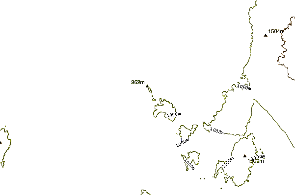
10 other mountain peaks closest to Mount Charleston:
 Mount Charleston – Climbing, Hiking & Mountaineering information


