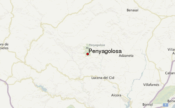
– Lat/Long: 40.22° N 0.35° W
 Penyagolosa – Climbing, Hiking & Mountaineering information

Penyagolosa Guide
- Elevation: 1813
- Difficulty: Walk up
- Best months to climb: All year
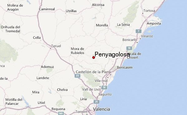
- Convenient center: San Juan de Peñagolosa
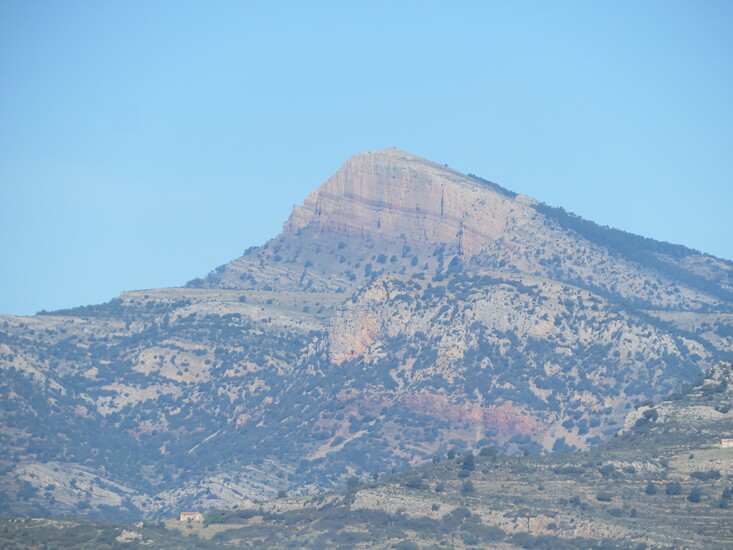
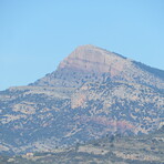
Highest peak in the province of Castellon (Spain), it can be summited by walking on the north face or by climbing the 200 meters south wall. You can also go to the summit by skiing on winter (Just two or three days a year there is snow enough).
Penyagolosa climbers NotesBe the first to submit your climbers note! Please submit any useful information about climbing Penyagolosa that may be useful to other climbers. Consider things such as access and accommodation at the base of Penyagolosa, as well as the logistics of climbing to the summit. |
| Select a
mountain summit from the menu |
||
|
Select a Mountain Summit
|
||
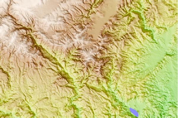
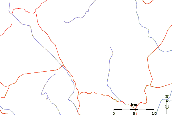
Use this relief map to navigate to mountain peaks in the area of Penyagolosa.
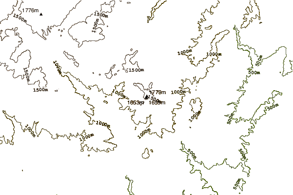
10 other mountain peaks closest to Penyagolosa:
| 1. | Refugio MAS DE AGUSTINA (1000 m) | 3.6 km |
| 2. | San Juan Penyagolosa (1280 m) | 3.9 km |
| 3. | Refugio forestal monte Altis (1025 m) | 7.2 km |
| 4. | Refugio Pino Cacho (1000 m) | 8.3 km |
| 5. | Refugio Montanejos (460 m) | 22.3 km |
| 6. | Serra d'Esparreguera (1087 m) | 24.4 km |
| 7. | Sierra de Gúdar (2019 m) | 29.2 km |
| 8. | Serra d'En Galceran (1078 m) | 30.2 km |
| 9. | Tossal d'Orenga (1144 m) | 30.2 km |
| 10. | Serra d'En Celler (1147 m) | 30.2 km |