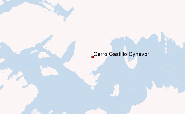
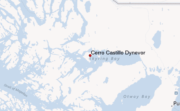
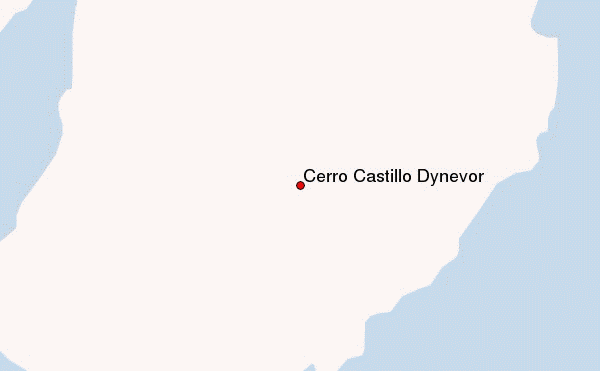
– Lat/Long: 52.58° S 72.43° W
 Cerro Castillo Dynevor – Climbing, Hiking & Mountaineering information

Cerro Castillo Dynevor Guide
- Elevation: 1100
- Difficulty: -
- Best months to climb: -
- Convenient center: -
Cerro Castillo Dynevor climbers Notes
Click here to submit your own climbing note for Cerro Castillo Dynevor |
| Select a
mountain summit from the menu |
||
|
Select a Mountain Summit
|
||
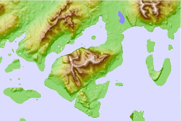
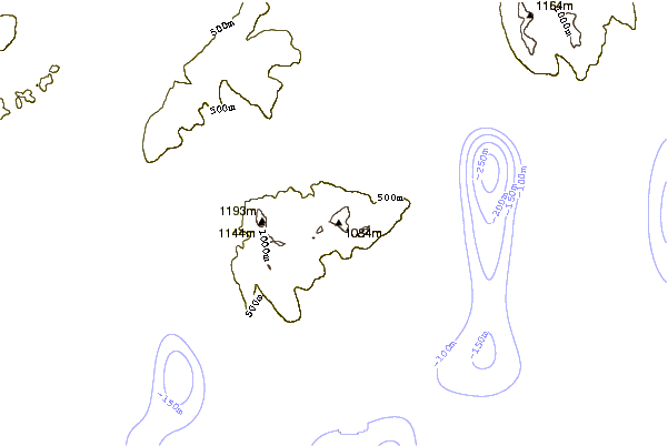
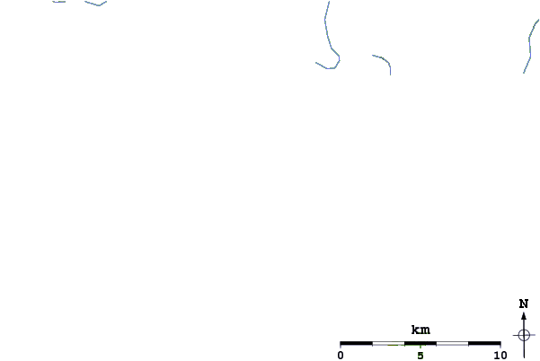
Use this relief map to navigate to mountain peaks in the area of Cerro Castillo Dynevor.
10 other mountain peaks closest to Cerro Castillo Dynevor:
| 1. | Cerro Ladrillero (1700 m) | 42.1 km |
| 2. | Monte Burney (1758 m) | 71.4 km |
| 3. | Monte Balmaceda (2035 m) | 139.6 km |
| 4. | Mount Tarn (825 m) | 163.5 km |
| 5. | Pali-Aike Volcanic Field (282 m) | 177.9 km |
| 6. | Torre Sur (2501 m) | 181.8 km |
| 7. | Paine Grande (3050 m) | 181.9 km |
| 8. | Torre Central (2460 m) | 190.7 km |
| 9. | Reclus (volcano) (1000 m) | 196.9 km |
| 10. | Monte Sarmiento (2300 m) | 233.2 km |