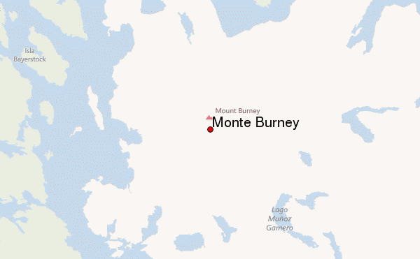
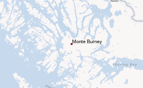
– Lat/Long: 52.33° S 73.40° W
 Monte Burney – Climbing, Hiking & Mountaineering information

Monte Burney Guide
- Elevation: 1758
- Difficulty: -
- Best months to climb: -
- Convenient center: -
Monte Burney climbers NotesBe the first to submit your climbers note! Please submit any useful information about climbing Monte Burney that may be useful to other climbers. Consider things such as access and accommodation at the base of Monte Burney, as well as the logistics of climbing to the summit. |
| Select a
mountain summit from the menu |
||
|
Select a Mountain Summit
|
||
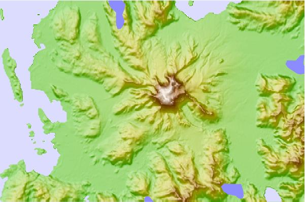
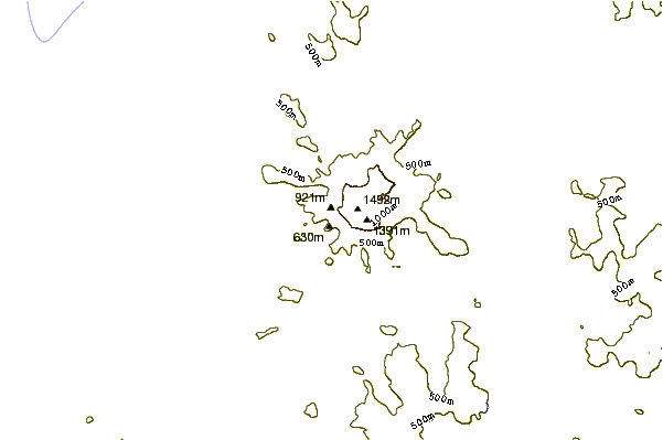
Use this relief map to navigate to mountain peaks in the area of Monte Burney.
10 other mountain peaks closest to Monte Burney:
| 1. | Cerro Castillo Dynevor (1100 m) | 71.4 km |
| 2. | Cerro Ladrillero (1700 m) | 88.4 km |
| 3. | Monte Balmaceda (2035 m) | 102.7 km |
| 4. | Paine Grande (3050 m) | 149.4 km |
| 5. | Reclus (volcano) (1000 m) | 152.6 km |
| 6. | Torre Sur (2501 m) | 152.8 km |
| 7. | Torre Central (2460 m) | 162.2 km |
| 8. | Aguilera (volcano) (2546 m) | 223.6 km |
| 9. | Mount Tarn (825 m) | 226.9 km |
| 10. | Pali-Aike Volcanic Field (282 m) | 235.0 km |