– Lat/Long: 46.51° N 10.54° E
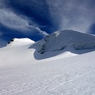
 Ortler – Climbing, Hiking & Mountaineering information

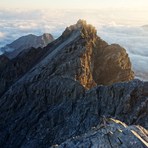
Ortler Guide
- Elevation: 3905
- Difficulty: -
- Best months to climb: -
- Convenient center: -
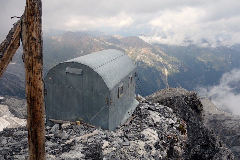
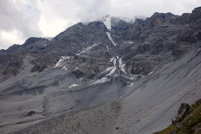
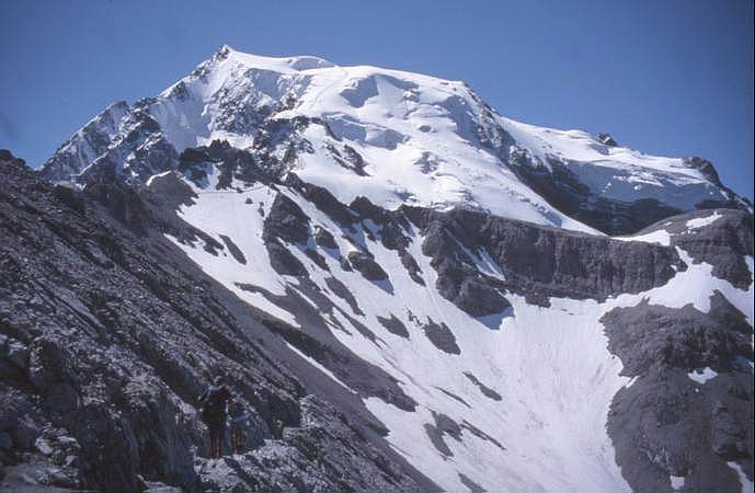
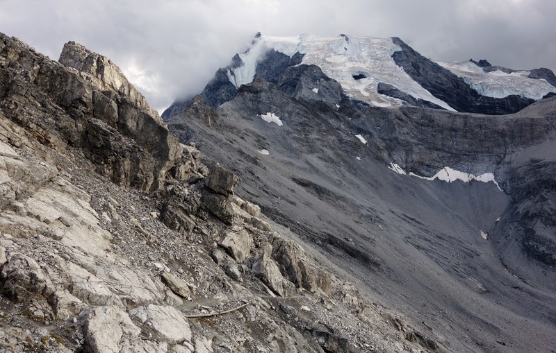
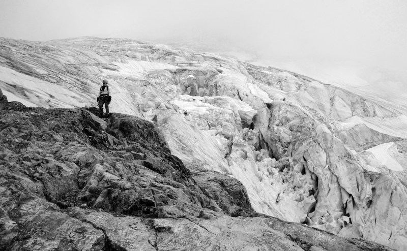
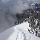
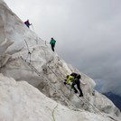
Ortler climbers Notes
|

| Select a
mountain summit from the menu |
||
|
Select a Mountain Summit
|
||
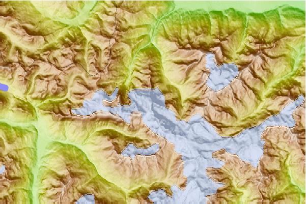
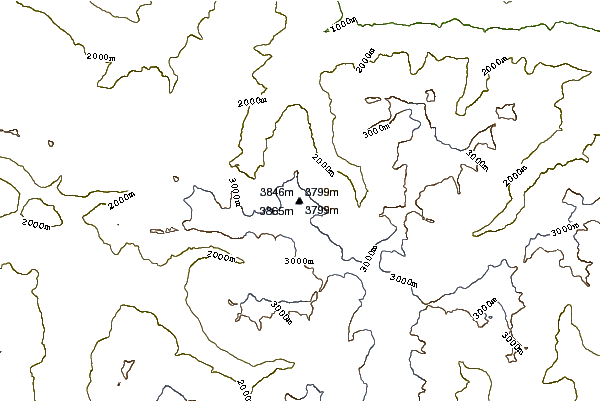
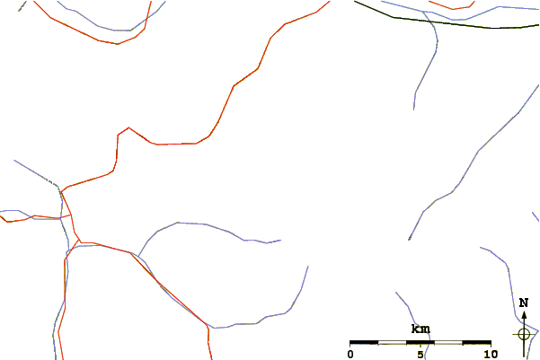
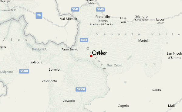
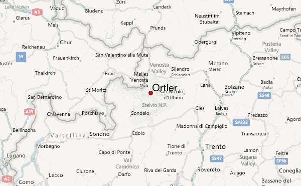
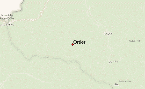
Use this relief map to navigate to mountain peaks in the area of Ortler.
10 other mountain peaks closest to Ortler:
| 1. | Monte Piana (2324 m) | 0.0 km |
| 2. | Cima Ortles (3902 m) | 0.9 km |
| 3. | Bivacco Citta' Di Cantu' (3535 m) | 1.5 km |
| 4. | Bivacco Pellicioli Leone (3230 m) | 2.0 km |
| 5. | Payerhütte (3029 m) | 2.1 km |
| 6. | Thurwieserspitze (3652 m) | 2.2 km |
| 7. | Rifugio Tabaretta (2556 m) | 2.4 km |
| 8. | Trafoier Eiswand (3565 m) | 2.9 km |
| 9. | Rifugio Bertarelli Guido-quinto Alpini (2878 m) | 3.1 km |
| 10. | Königspitze (3851 m) | 3.8 km |