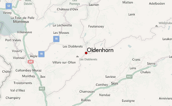
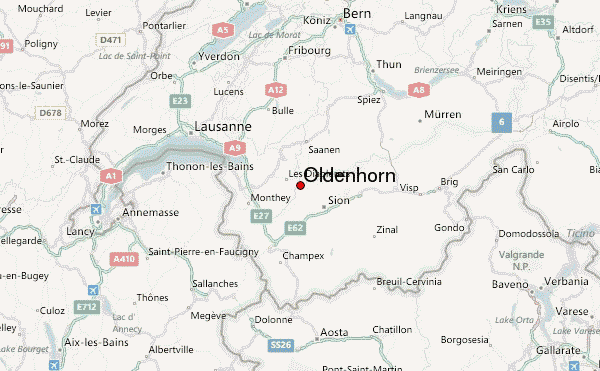
– Lat/Long: 46.33° N 7.22° E
 Oldenhorn – Climbing, Hiking & Mountaineering information

Oldenhorn Guide
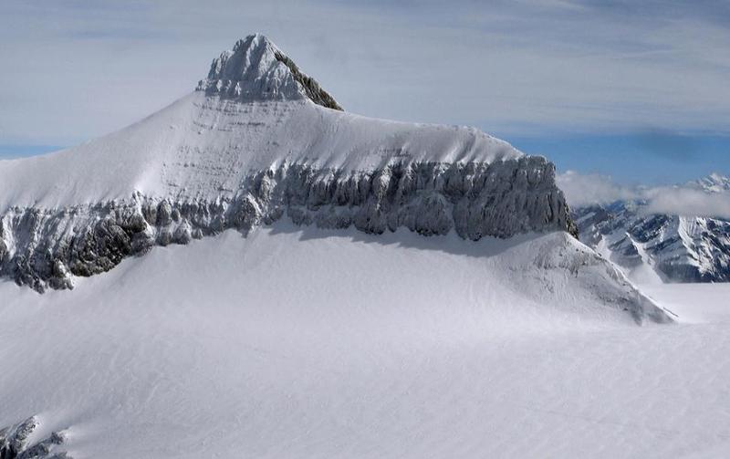
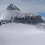
- Elevation: 3122
- Difficulty: Walk up
- Best months to climb: July, August, September
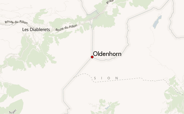
- Convenient center: Gsteig or Les Diablerets
Oldenhorn climbers NotesBe the first to submit your climbers note! Please submit any useful information about climbing Oldenhorn that may be useful to other climbers. Consider things such as access and accommodation at the base of Oldenhorn, as well as the logistics of climbing to the summit. |
| Select a
mountain summit from the menu |
||
|
Select a Mountain Summit
|
||
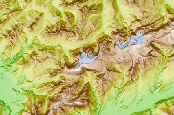
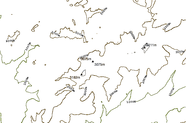
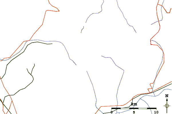
Use this relief map to navigate to mountain peaks in the area of Oldenhorn.
10 other mountain peaks closest to Oldenhorn:
| 1. | Cabane des Diablerets CAS (2486 m) | 1.2 km |
| 2. | Sex Rouge (2971 m) | 1.3 km |
| 3. | Refuge de Pierredar (2293 m) | 2.2 km |
| 4. | Cabane de Prarochet (2555 m) | 2.6 km |
| 5. | Sanetschhorn (2924 m) | 3.4 km |
| 6. | Les Diablerets (3210 m) | 3.6 km |
| 7. | Tête Ronde (3037 m) | 4.3 km |
| 8. | Schluchhorn (2579 m) | 4.5 km |
| 9. | La Fava (2612 m) | 5.4 km |
| 10. | Refuge du lac de Derborence (1480 m) | 5.5 km |