– Lat/Long: 41.10° N 3.26° W
 Ocejon – Climbing, Hiking & Mountaineering information

Ocejon Guide
- Elevation: 2048
- Difficulty: Walk up
- Best months to climb: January, February, March, April, May, June, July, August, September, October, November, December
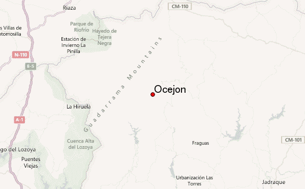
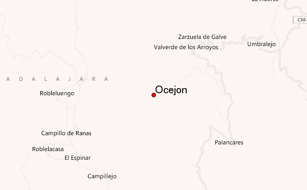
- Convenient center: Valverde de los Arroyos
Ocejon climbers Notes
Click here to read 1 more climbing note for Ocejon or submit your own |
| Select a
mountain summit from the menu |
||
|
Select a Mountain Summit
|
||
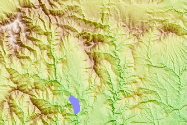
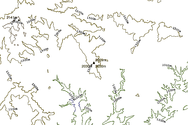
Use this relief map to navigate to mountain peaks in the area of Ocejon.
10 other mountain peaks closest to Ocejon:
| 1. | La Pinilla Bikepark (2092 m) | 21.0 km |
| 2. | Refugio CASILLA DE LA LASTRA (867 m) | 28.1 km |
| 3. | Albergue de Miedes de Atienza (1 m) | 30.4 km |
| 4. | Refugio SANTUIL (1601 m) | 36.1 km |
| 5. | Refugio MUCHACHERA (1422 m) | 47.3 km |
| 6. | Refugio NALVALCOLLADO (1786 m) | 48.6 km |
| 7. | Refugio CAZADORES (1594 m) | 48.6 km |
| 8. | Refugio PUERTO NAVAFRIA (1780 m) | 48.7 km |
| 9. | Refugio CHORRO EL (1343 m) | 49.0 km |
| 10. | Refugio REGAJOHONDO (1724 m) | 49.5 km |