Naches Peak Guide
- Elevation: 1967
- Difficulty: Scramble
- Best months to climb: July, August, September, October
- Convenient center: Enunclaw
Naches Peak climbers Notes
John from UNITED STATES writes:
I traveled around the Naches peak trail until I came to the small lake on the eastern backside. From there I climbed up the steep open slope to the ridge line on the south side of the peak. There is a small, unofficial path that people have made over the years that goes a bit higher and then stops. There is a rock pile that people add to when they get to this point. From there I traversed north across the open face to a small spine on the north-eastern side of the peak. This is a very steep area and the dangers of falling are high. From that point I had to essentially maintain three points of contact as I slowly crossed a rockface. This is an area where if you fall, you die. The rock isn’t very good and trying to place climbing anchors is sketchy at best. Once I crossed the rock face I slowly followed the cliffs farther around to the north where there was enough of a “ramp” that I was able to climb up. Again, this was a certain death area where if you fall, you die. I was very concerned about being able to down climb but decided to try it anyway. The rock was good enough that I could smear my boot soles and get good grip but had to be very careful because there was so much sand, dirt, and loose pebbles. Once through the ramp area, it was a fairly easy scramble to the very top. Be cautious when approaching though because there were several large colonies of flying red ants on top and if they decide to attack, there’s no place to run. I carefully moved to the very northern end of the rocks and had a wonderful 360 view of the cascades while I ate lunch.
The down climb seemed easier than climbing up and I made my way straight down through the avalanche field instead of following my ascent rout. The dirt and rocks were surprisingly firm to walk on and I just had to be very careful not to go too fast and fall. If you fall in this area, you probably won’t die but you will be severely injured. I slowly traversed back south-east and ended coming out back on the trail at the same place I started. Then I soaked my feet in the small lake and hiked back to my truck.
I would recommend having a climbing partner, rope, and a means to anchor a belayer so that if you do fall while climbing up the ramp at the top, you’ll only fall 20’-30’ instead of several hundred. It only took me two hours from the time I left my truck to being on top of the peak. Watch out for mountain goats. They’re there.
2018-08-17 |
Click here to submit your own climbing note for Naches Peak
|
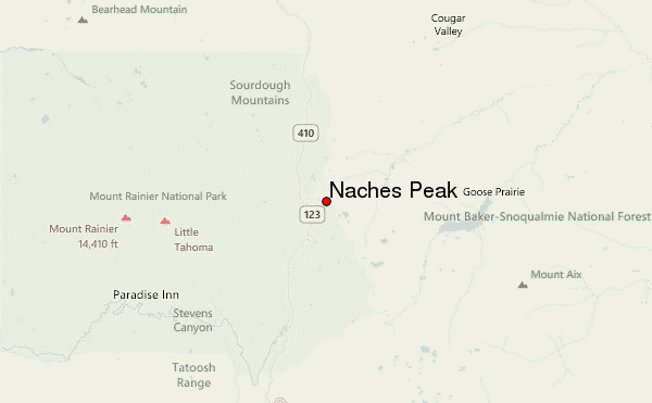
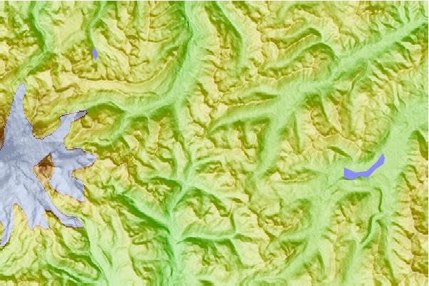
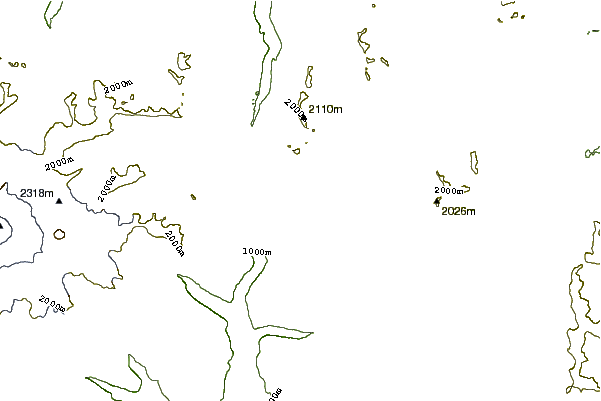
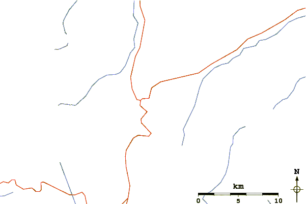
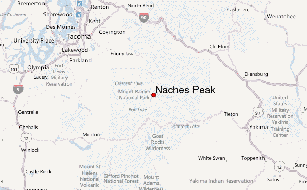
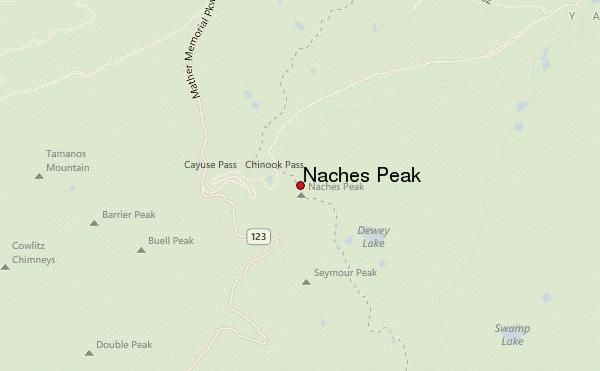
Select Naches Peak Location Map Detail:
Use this relief map to navigate to mountain peaks in the area of Naches Peak.
10 other mountain peaks closest to Naches Peak:
 Naches Peak – Climbing, Hiking & Mountaineering information