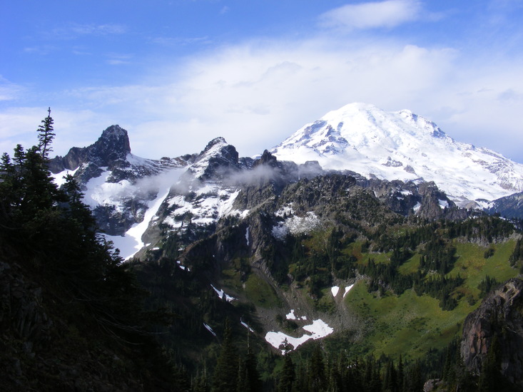
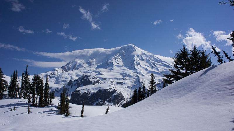
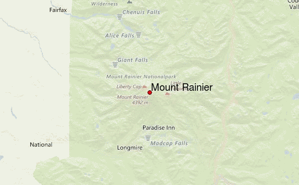
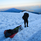
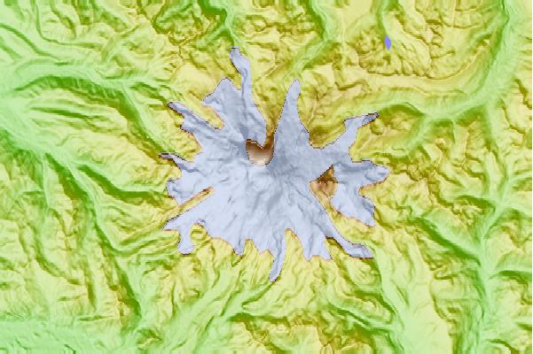
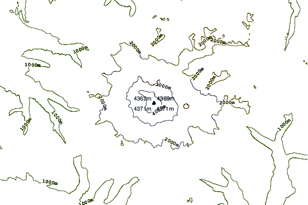
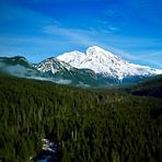
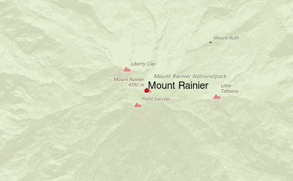
Mt. Rainier (aka Tahoma by natives) is a beautiful peak with numerous routes to her large, volcanic summit. Popular routes are the Ingraham Direct ruote, as well as the Disappointment Cleaver. Both of these routes are accessed from the Paradise parking lot at roughly 5,800ft ASL. From Paradise, climbers ascend to Camp Muir at ~10,050ft and overnight in the climber's shelter (made publicly available by the NPS, enough room for 20-25 climbers).
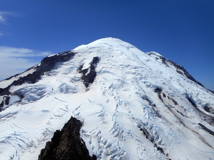
After an alpine start around midnight, climbers continue northward, crossing the Cowlitz Glacier. After a short ascent through Cathedral Gap, climbers will arrive at the Ingraham Flats at ~11,000ft. From here, the decision is made to summit via one of the two route options discussed earlier.
Another popular route utilizes the Emmons glacier. Climbers attempting this route begin at the Sunrise visitor area and hike to the toe of the Emmons glacier. From here, they ascend to Camp Schurman, overnight, and continue to the summit.
For experienced mountaineers, the Fuhrer Finger and Liberty Ridge routes offer exceptional opportunities not to be had elsewhere in the lower 48 states of the United States.
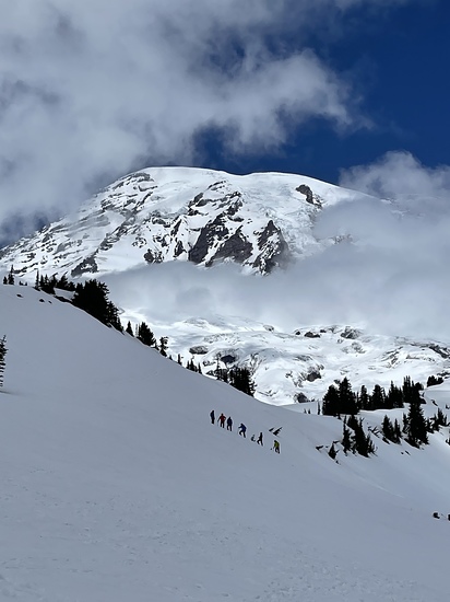
The mountain is seldom climbed in the winter, but if a weather-window presents itself lots of teams give the summit a try! "The Ledges" accessed from Camp Muir is the most popular - and perhaps the only reasonable - route to the summit in the winter months. This route takes a direct line towards the summit from Camp Muir to the base of Gibraltar Rock. After walking a series of ledges that traverse the Gibraltar Rock, continue upward via the Nisqually Chute. From here a nearly direct line to the summit can be used as the upper mountain is a glaciated dome.
For questions regarding conditions, there are lots of forums that help climbers get the beta they need. These sites are also helpful for those seeking climbing partners.
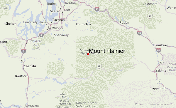
Of course, the NPS rangers in MNRP are always helpful to provide the latest information regarding park access, availability, permits, etc.
 Mount Rainier – Climbing, Hiking & Mountaineering information
