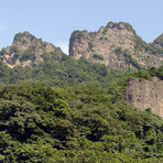
Myogi San Guide
- Elevation: 1104
- Difficulty: Scramble
- Best months to climb: June, July, August, September
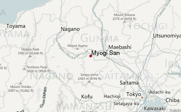
- Convenient center: Takasaki
Myogi San climbers Notes
Will Vevers from UNITED KINGDOM writes:
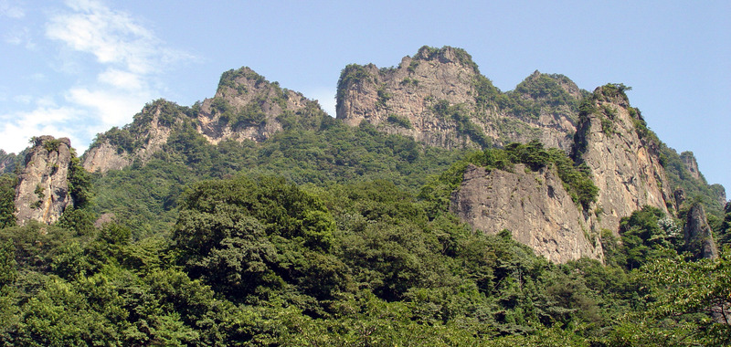
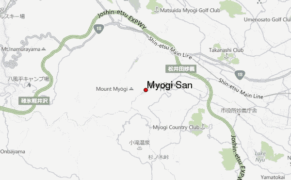
Got Ueda bound Chikuma bus from Nerima town hall, Tokyo at 8.00am to Matsuida South interchange at 10.00am. Walked to shrine start via road 231 and 196. Up to shrine in cave was easy and harness/via ferrata(rope and carabiners)/helmet used after that (although easy ground to start and was alone). Exhilarating ridge walking and chain descents/traverses in amongst fantastic trees but exhausting. Save energy for second peak which is more daunting and includes a bit of rock soloing and walking on loose rock with large exposure. Don't forget to cut the corner on the road descent. 5h round trip, although bus was 7.38pm and onsen closed/nothing to do/eat around bus stop. Train station better option for return. Do it!
2014-09-20 |
Click here to submit your own climbing note for Myogi San
|
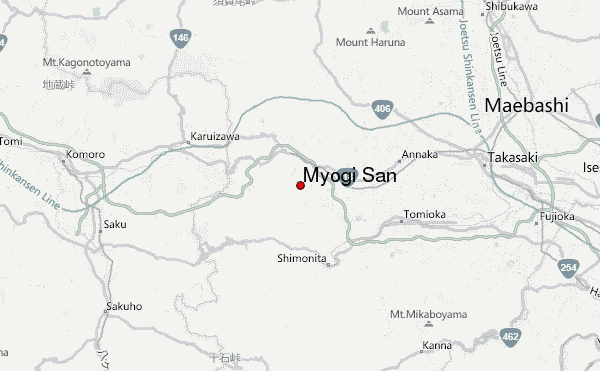
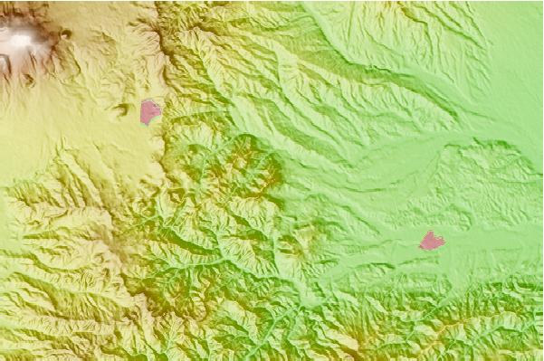
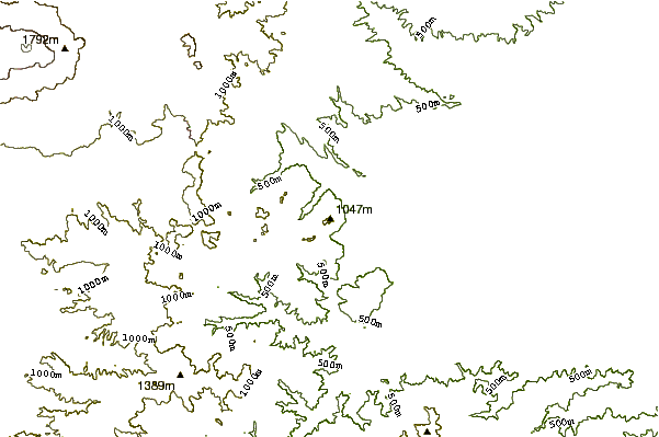
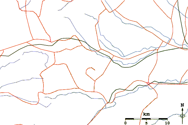
Select Myogi San Location Map Detail:
Use this relief map to navigate to mountain peaks in the area of Myogi San.
10 other mountain peaks closest to Myogi San:
 Myogi San – Climbing, Hiking & Mountaineering information