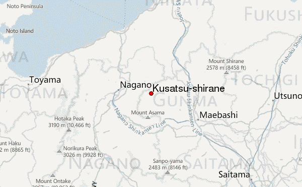
Kusatsu-shirane Guide
- Elevation: 2176
- Difficulty: -
- Best months to climb: July, August, September, October
- Convenient center: Karuizawa, Ueda, Komoro
Kusatsu-shirane climbers Notes
Kohaku from JAPAN writes:
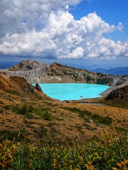
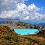
Because of the eruption on January 23rd, the warning was raised to level 3. You cannot approach Shirane.
It is too bad you will not be able to see the crater lake, but I hope you have a nice time in Kusatsu anyway! The weather has been very mild recently.
2018-03-15 |
Click here to read 1 more climbing note for Kusatsu-shirane or submit your own
|
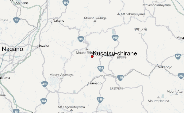
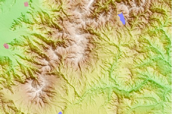
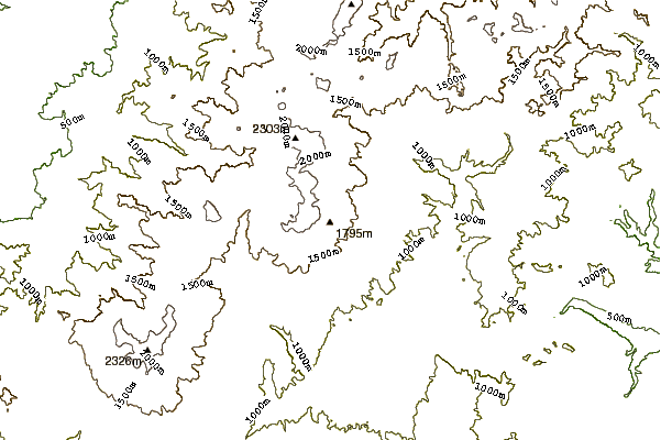
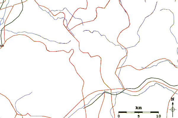
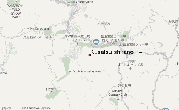
Select Kusatsu-shirane Location Map Detail:
Use this relief map to navigate to mountain peaks in the area of Kusatsu-shirane.
10 other mountain peaks closest to Kusatsu-shirane:
 Kusatsu-shirane – Climbing, Hiking & Mountaineering information