– Lat/Long: 36.66° N 118.31° W

UsMount Williamson – Climbing, Hiking & Mountaineering information

Placeholder

Mount Williamson mountain guide

class 3 chimney, Mount Williamson photo

Mount Williamson

Photo credit: Jesse

Staring up the class 2 chute!, Mount Williamson photo

Mount Williamson

Photo credit: Jesse

The west face, Mount Williamson photo

Mount Williamson

Photo credit: Jesse

Mount Williamson photo

Mount Williamson

Photo credit:

  • Elevation: 4380 m
  • Difficulty: Scramble
  • Best months to climb: June, July, August, September
  • Convenient center: Lone Pine, California

Mount Williamson Climbing Notes

Anuar Ramirez-Medina from UNITED STATES writes:

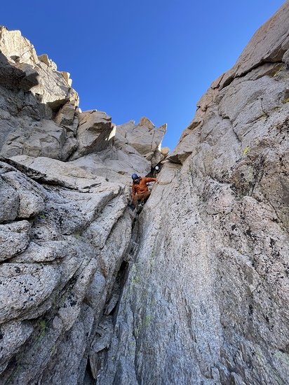
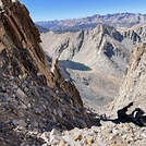
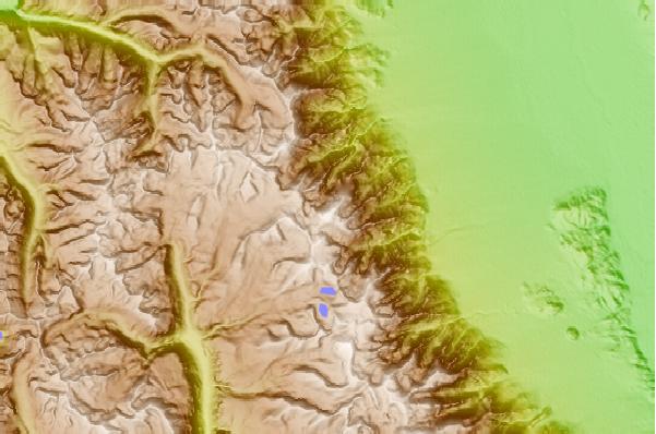
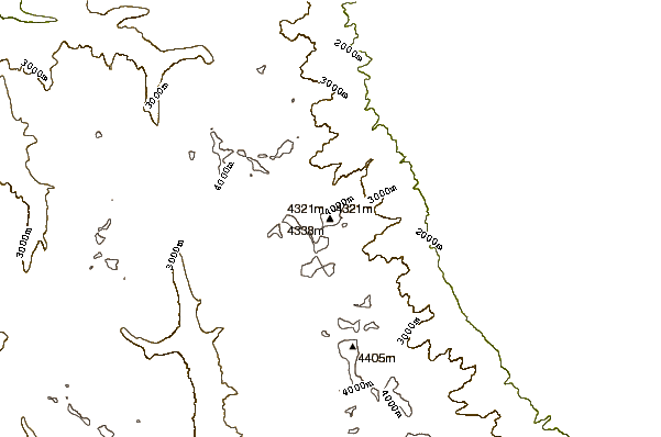
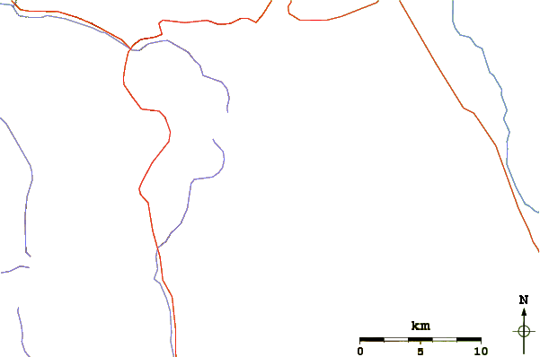
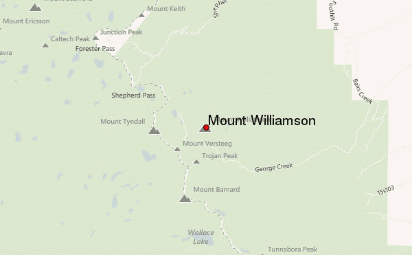
Attempted to climb Mt Tyndall on 4/10/2019 from Shepherds Pass Trailhead (6300 ft).

Short end: the grade was too aggressive and abandoned at about 10,000 feet.

Notes: We were the only ones at the trailhead for two days. We saw one other pair of tracks a few days old with another set of ski tracks coming down. A badass person likely climbed to about 10K and skied down.

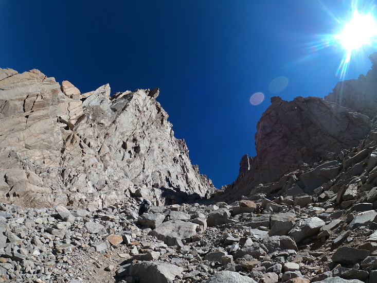
Heavy snowfall has covered the mountain with deep snow starting at about 7200 feet, starting off at the 15th switchback (There are 55 switchbacks in the first phase of the mountain). Note: I've climbed Williamson before and know the trail fairly well.

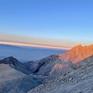
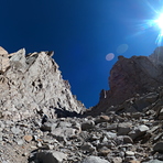
The climb is brutal from the getgo. You'll be climbing at about 100-110% grade right off the bat (1 hour in). In deep snow. You're going to need snowshoes (with a heel lift) because the snow will start to get softer at around noon and crampons for early morning climbing.

If you manage to summit and come down in the afternoon, expect the snow to get much softer and your cramponed feet to sink to your knee or thighs very frequently (and very frustrating).

Recommendation: unless you're in extremely good physical condition to be climbing at that grade for multiple miles, I recommend you wait until at least late May for the first phase of the climb to be snow free. It can be def be done, but it requires too much effort and one more day that we were willing to give.
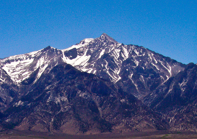
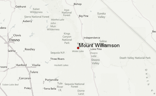
2019-04-12

Click here to read 1 more climbing note for Mount Williamson or submit your own

Mount Williamson Location Map

Select Mount Williamson Location Map Detail:


Latest Gallery Images for Mount Williamson

visit the
gallery
or click to view
Staring down the class 2 chuteThe majestic alpenglow Class 2 vs. class 3Sunset plumage with a Williamson backdrop

Upload your photo of Mount Williamson

Select a mountain summit from the menu
Select a Mountain Summit
Surf breaks located close to Mount Williamson Mountain peaks around Mount Williamson Roads and rivers around Mount Williamson

Use this relief map to navigate to mountain peaks in the area of Mount Williamson.

10 other mountain peaks closest to Mount Williamson:

1. Mount Tyndall (4273 m) 2.2 km
2. Mount Barnard (4264 m) 3.2 km
3. Mount Keith (4262 m) 5.8 km
4. Junction Peak (4233 m) 6.3 km
5. Keeler Needle (4347 m) 6.7 km
6. Mount Russell (4293 m) 7.5 km
7. Mount Whitney (4418 m) 8.7 km
8. Mount Stanford (4259 m) 9.3 km
9. Mount Muir (4271 m) 10.3 km
10. University Peak (4155 m) 11.2 km