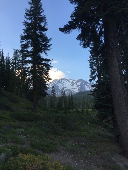
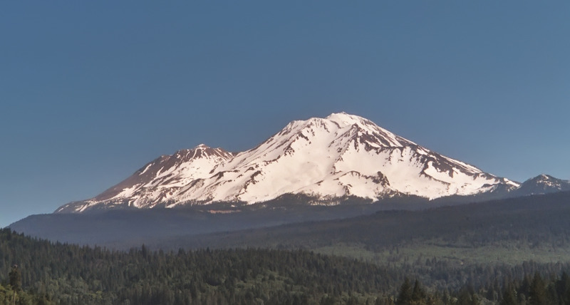
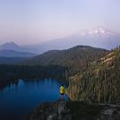
Mount Shasta Guide
- Elevation: 4317
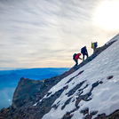
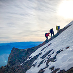
- Difficulty: Basic Snow and Ice Climb
- Best months to climb: June, July, August, September
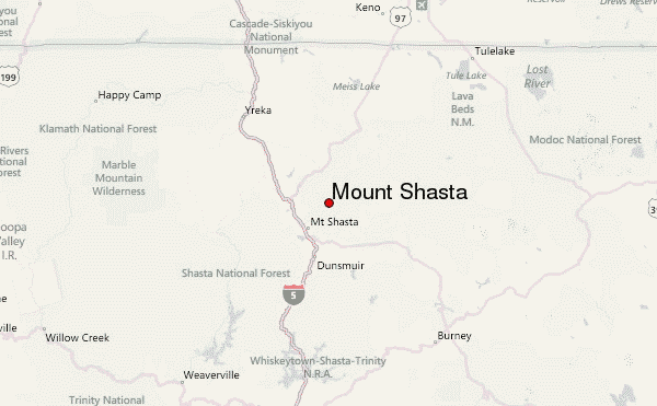
- Convenient center: Mt. Shasta, California
Mount Shasta climbers Notes
Eric Dirst from UNITED STATES writes:
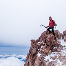
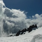
We climbed Mt Shasta on 6/15 and 6/16 with camping at Helen lake. Campsites were available both on rock/dirt and already shoveled out on snow (minor shoveling needed). Snow became ice as expected overnight, but thawed out by afternoon due to lots of sun. Plenty of glissade routes down from top to make it much faster trip down, but be careful of speed if glissade up top. Quite a bit of equipment could be seen strewn across mountain from those who went too fast and lost bottles, etc. Can often still be ice in glissade tracks. We went up notch beyond heart and although steep we got great views of sunrise before clouds blew in and got significantly windy. Big puffy's necessary at top, and a few of us that get cold easily had 2 or 3 puffy's on. Bring extra gloves in case they get wet, especially when glissading down. Enjoy the false summit...it's just as depressing as everyone says ;-)
2025-06-19 |
Click here to read 5 more climbing notes for Mount Shasta or submit your own
|
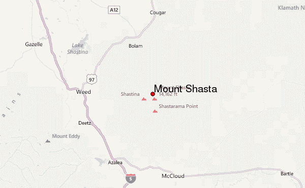
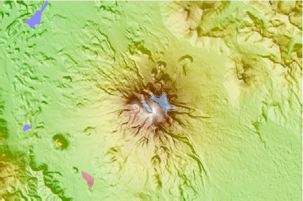
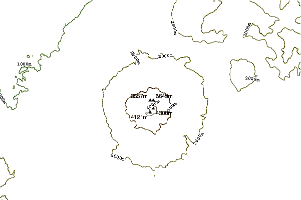
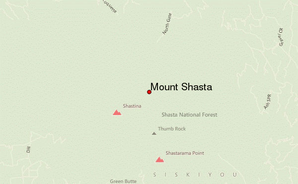
Select Mount Shasta Location Map Detail:
Use this relief map to navigate to mountain peaks in the area of Mount Shasta.
10 other mountain peaks closest to Mount Shasta:
 Mount Shasta – Climbing, Hiking & Mountaineering information


