Schonchin Butte Guide
- Elevation: 1616
- Difficulty: -
- Best months to climb: -
- Convenient center: -
Schonchin Butte climbers Notes
hans kuhr from UNITED STATES writes:
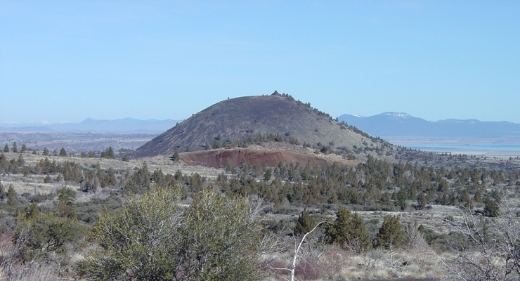
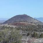
Schonchin Butte lies in the Lava beds in northern California.
On the main through road as you approach the butte from either the north or south entrance look for the sign at the side of the road which shows the half mile drive on good gravel to the trail head with the outhouse.
Hike up the beginners rated good trail for 3/4 of a mile to the lookout tower. I suggest that after 1/2 mile where there is a trail junction that you stay right and follow this trail with a view around the volcano crest to the tower.
This is a very safe hike with a good views of the Lava Beds.
I have hiked it over 25 times without any issues. In the summer make multiple stops to cool down and take a sip of water to keep hydrated.
I have hiked it in the winter when there was a foot of snow on the trail and enjoyed the hike. It was not slippery. However it took a little more effort going up and down from breaking the trail .
Enjoy
2026-01-23 |
Click here to submit your own climbing note for Schonchin Butte
|
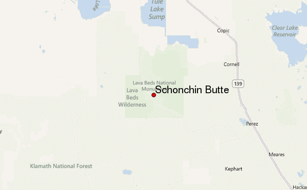
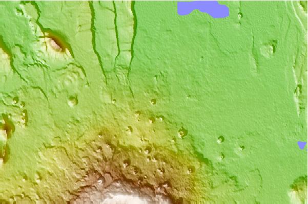
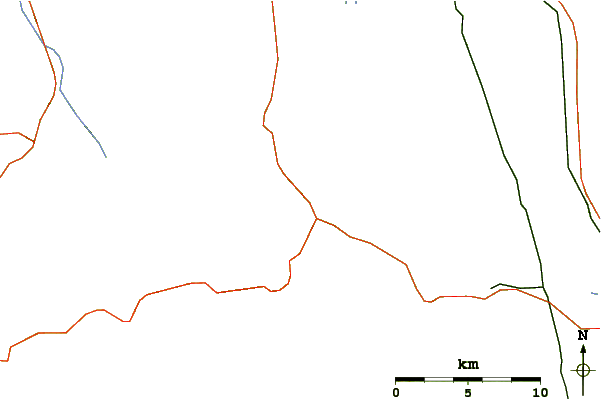
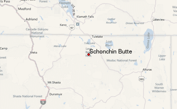
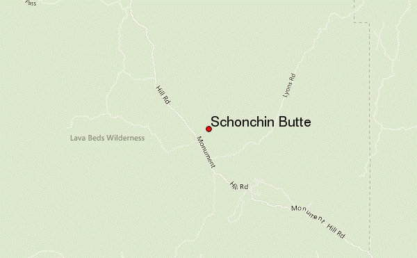
Select Schonchin Butte Location Map Detail:
Use this relief map to navigate to mountain peaks in the area of Schonchin Butte.
10 other mountain peaks closest to Schonchin Butte:
 Schonchin Butte – Climbing, Hiking & Mountaineering information
