– Lat/Long: 41.32° N 122.48° W
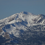
 Mount Eddy – Climbing, Hiking & Mountaineering information

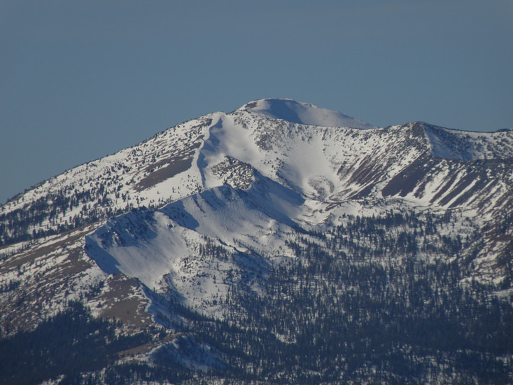
Mount Eddy Guide
- Elevation: 2751
- Difficulty: -
- Best months to climb: -
- Convenient center: -
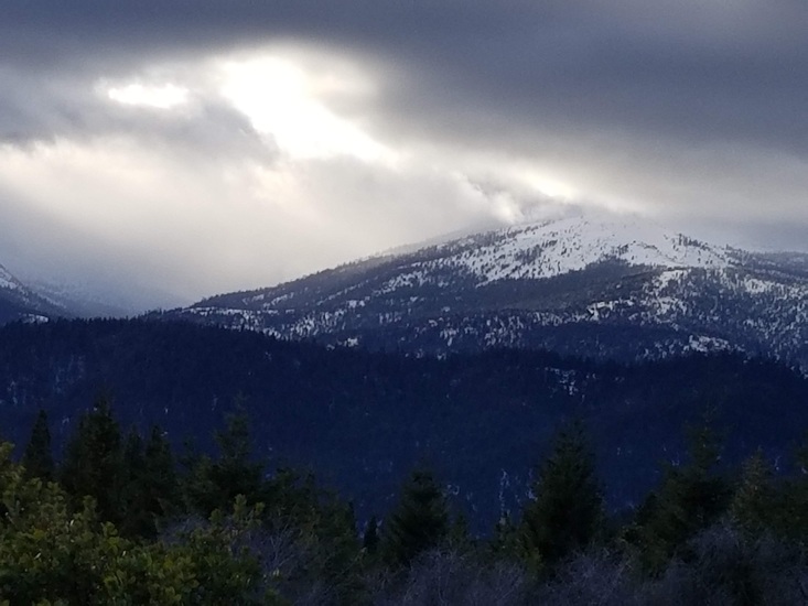
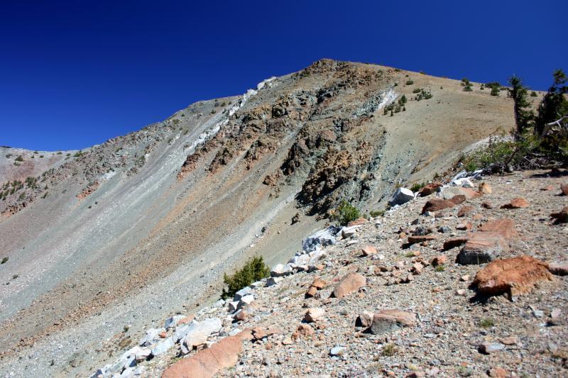
Mount Eddy climbers Notes
|
| Select a
mountain summit from the menu |
||
|
Select a Mountain Summit
|
||
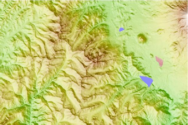
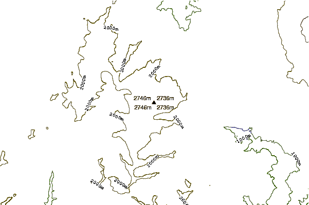
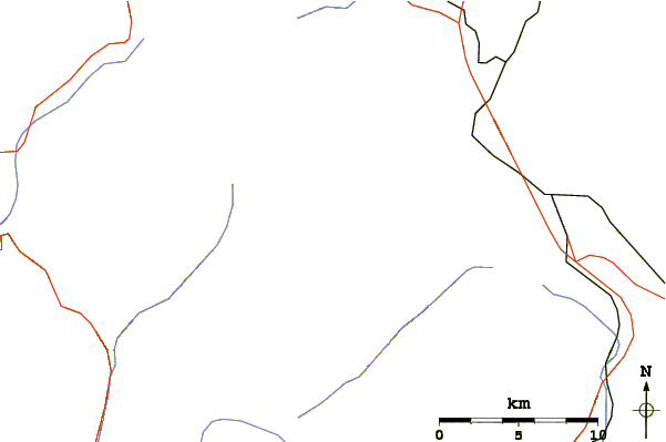
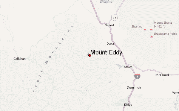
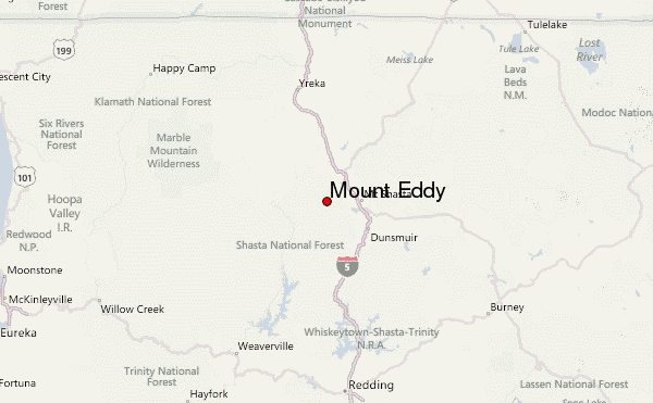
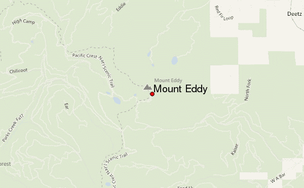
Use this relief map to navigate to mountain peaks in the area of Mount Eddy.
10 other mountain peaks closest to Mount Eddy:
| 1. | Black Butte (Siskiyou County, California) (1931 m) | 12.1 km |
| 2. | Mount Shasta Ski Park (2419 m) | 23.2 km |
| 3. | Shastina (3758 m) | 23.5 km |
| 4. | Mount Shasta (4317 m) | 25.8 km |
| 5. | Russian Peak (2499 m) | 39.8 km |
| 6. | Ycatapom Peak (2315 m) | 41.8 km |
| 7. | Granite Peak (Trinity County, California) (2466 m) | 56.3 km |
| 8. | Thompson Peak (2744 m) | 58.5 km |
| 9. | Pilot Rock (Jackson County, Oregon) (1801 m) | 79.4 km |
| 10. | Salmon Mountain (California) (2122 m) | 79.5 km |