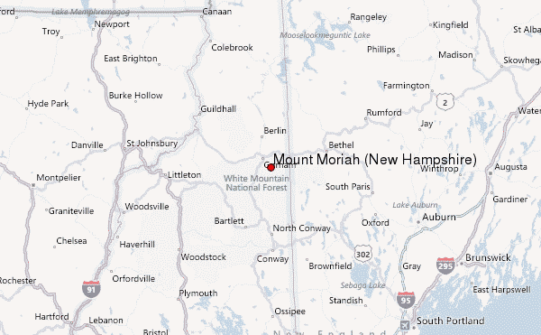
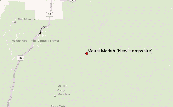
Mount Moriah (New Hampshire) Guide
- Elevation: 1234
- Difficulty: -
- Best months to climb: -
- Convenient center: -
Mount Moriah (New Hampshire) climbers Notes
Mike Flynn from UNITED STATES writes:
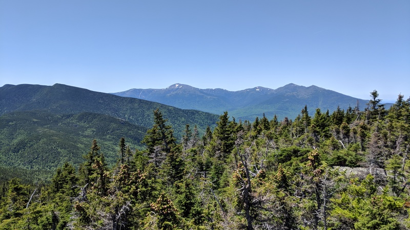
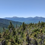
Climbed on 4/4/26. - Trail was great, did not need snow shoes, but definitely needed good crampons! Unbelievable 360 degree clear views from the top. Weather was perfect. Ice flows most of the way after the first mile or so. Some slushy snow in parts. Only water available was a stream at very bottom of trail.
2026-04-06 |
Click here to submit your own climbing note for Mount Moriah (New Hampshire)
|
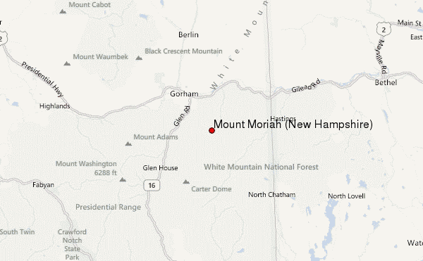
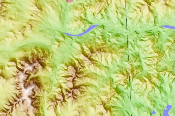
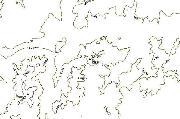
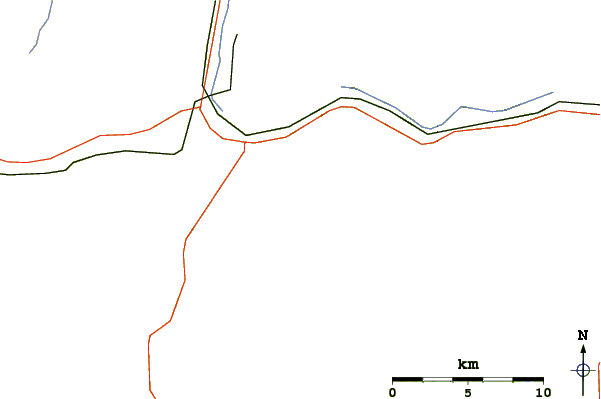
Select Mount Moriah (New Hampshire) Location Map Detail:
Use this relief map to navigate to mountain peaks in the area of Mount Moriah (New Hampshire).
10 other mountain peaks closest to Mount Moriah (New Hampshire):
 Mount Moriah (New Hampshire) – Climbing, Hiking & Mountaineering information