– Lat/Long: 35.76° N 82.27° W

Mount Mitchell (North Carolina) – Climbing, Hiking & Mountaineering information

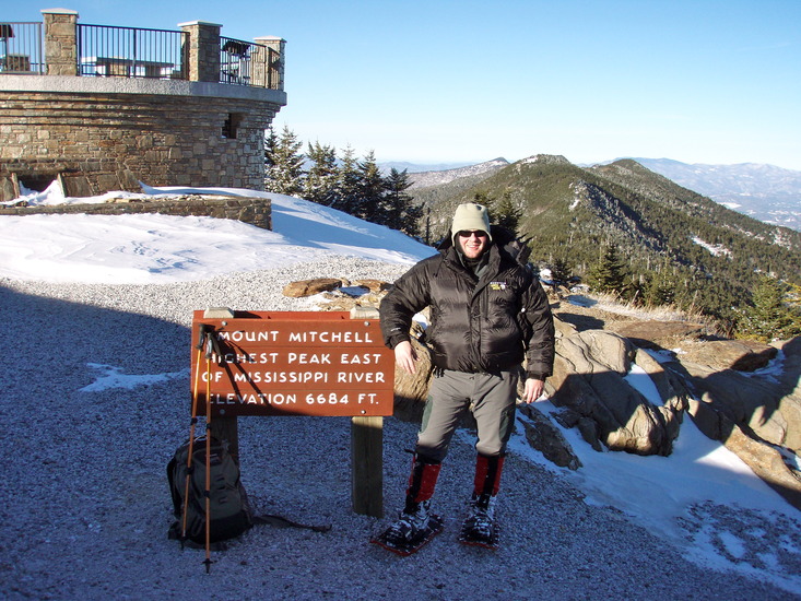
Mount Mitchell (North Carolina) Guide

Mount Mitchell Summit in Winter, Mount Mitchell (North Carolina) photo

Mount Mitchell (North Carolina)

Photo credit: Mark E. P. Woods

Mount Mitchell Trail in Snow, Mount Mitchell (North Carolina) photo

Mount Mitchell (North Carolina)

Photo credit: Mark E. P. Woods

Mount Mitchell In Autumn, Mount Mitchell (North Carolina) photo

Mount Mitchell (North Carolina)

Photo credit: MountainProfessor.com (Jim Fulton)

Mount Mitchell from Big Ridge in October, Mount Mitchell (North Carolina) photo

Mount Mitchell (North Carolina)

Photo credit: Achala Uhle

Meeting the Clouds, Mount Mitchell (North Carolina) photo

Mount Mitchell (North Carolina)

Photo credit: yarborough

  • Elevation: 2037
  • Difficulty: Walk up
  • Best months to climb: May, June, July, August, September, October
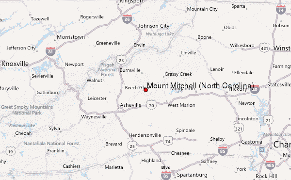
  • Convenient center: Asheville, North Carolina

Mount Mitchell (North Carolina) climbers Notes

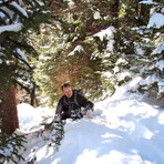
Ethan Jolles from UNITED STATES writes:

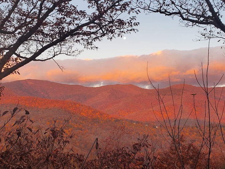
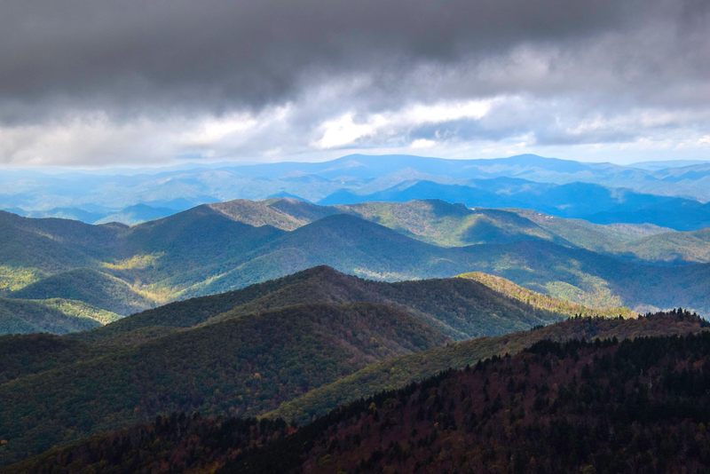
Trailhead infrastructure seems to be nonexistent. Bathrooms are closed off, Helene damage is real. Only ~3 campsites on the backroad leading to the trailhead. Forest service road with campsites is currently closed, but supposed to reopen soon. Expect minimal or no service at the trailhead. Bathrooms at the summit are closed as well.

2026-03-17

Click here to read 1 more climbing note for Mount Mitchell (North Carolina) or submit your own

Mount Mitchell (North Carolina) Location Map

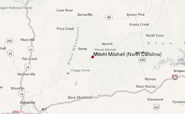
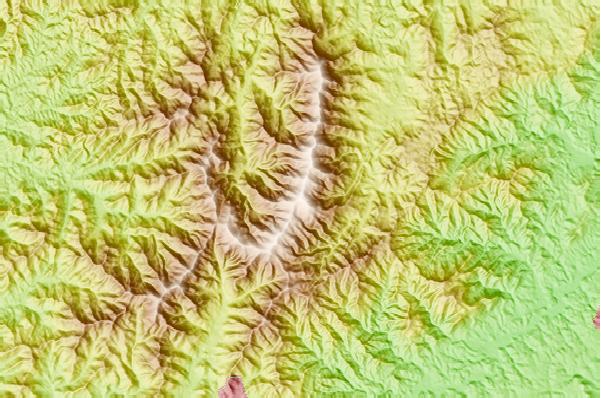
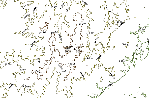
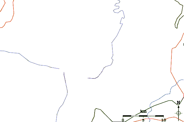
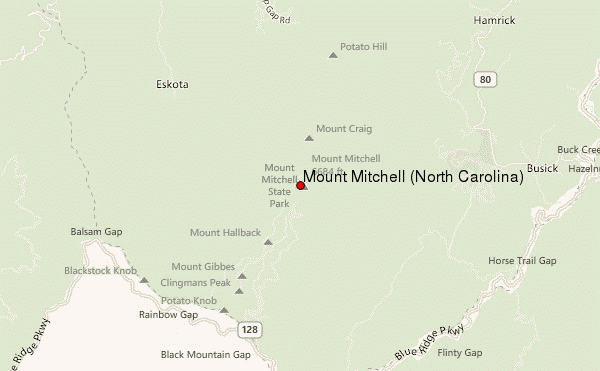
Select Mount Mitchell (North Carolina) Location Map Detail:


Latest Gallery Images for Mount Mitchell (North Carolina)

visit the
gallery
or click to view
Autumn at her best!Above the clouds Mount Mitchell in WinterSpringtime on Mt. Mitchell

Upload your photo of Mount Mitchell (North Carolina)

Select a mountain summit from the menu
Select a Mountain Summit
Surf breaks located close to Mount Mitchell (North Carolina) Mountain peaks around Mount Mitchell (North Carolina) Roads and rivers around Mount Mitchell (North Carolina)

Use this relief map to navigate to mountain peaks in the area of Mount Mitchell (North Carolina).

10 other mountain peaks closest to Mount Mitchell (North Carolina):

1. Mount Craig (2025 m) 1.5 km
2. Craggy Pinnacle (1796 m) 12.3 km
3. Woody's Knob (1273 m) 19.4 km
4. Bailey Mountain Bike Park (354 m) 30.0 km
5. Beaucatcher Mountain (821 m) 30.4 km
6. Kolo Bike Park (647 m) 34.5 km
7. Shortoff Mountain (890 m) 34.5 km
8. The Chimneys (1084 m) 36.2 km
9. Bluerock Mountain (North Carolina) (864 m) 36.4 km
10. Table Rock (1186 m) 37.2 km