– Lat/Long: 35.70° N 82.38° W
 Craggy Pinnacle – Climbing, Hiking & Mountaineering information

Craggy Pinnacle Guide


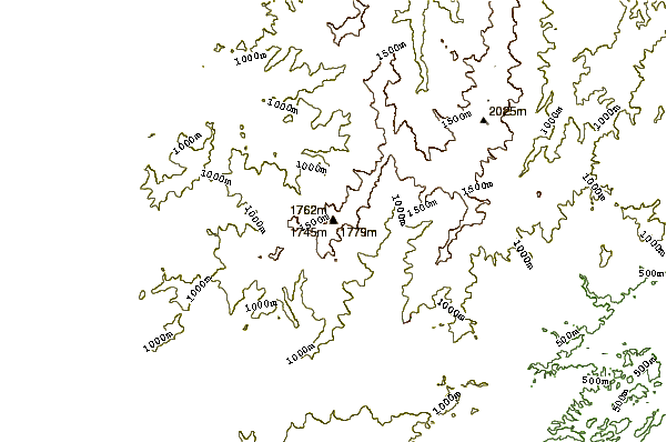
- Elevation: 1796
- Difficulty: Walk up
- Best months to climb: May, June, July, August, September, October
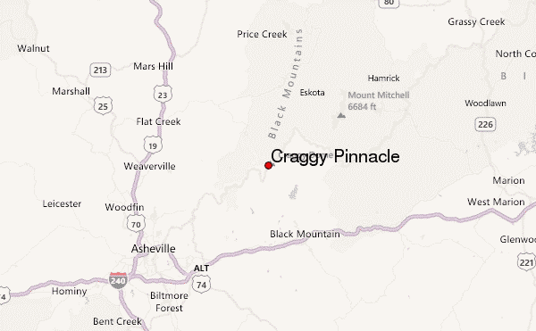
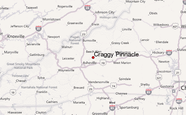
- Convenient center: Asheville
Craggy Pinnacle climbers NotesBe the first to submit your climbers note! Please submit any useful information about climbing Craggy Pinnacle that may be useful to other climbers. Consider things such as access and accommodation at the base of Craggy Pinnacle, as well as the logistics of climbing to the summit. |
| Select a
mountain summit from the menu |
||
|
Select a Mountain Summit
|
||
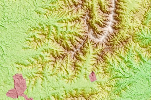
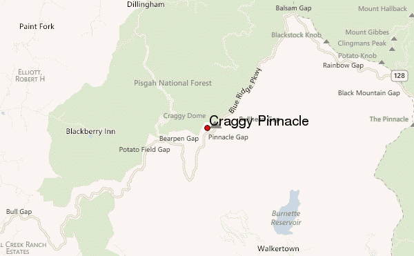
Use this relief map to navigate to mountain peaks in the area of Craggy Pinnacle.
10 other mountain peaks closest to Craggy Pinnacle:
| 1. | Mount Mitchell (North Carolina) (2037 m) | 12.3 km |
| 2. | Mount Craig (2025 m) | 13.4 km |
| 3. | Beaucatcher Mountain (821 m) | 18.1 km |
| 4. | Kolo Bike Park (647 m) | 22.2 km |
| 5. | Bailey Mountain Bike Park (354 m) | 24.5 km |
| 6. | Bluerock Mountain (North Carolina) (864 m) | 30.9 km |
| 7. | Woody's Knob (1273 m) | 31.6 km |
| 8. | The Riveter (650 m) | 34.1 km |
| 9. | Pilot Mountain (759 m) | 37.3 km |
| 10. | Mount Pisgah (North Carolina) (1744 m) | 46.2 km |
