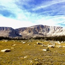
You park at approx 10,000 ft, so the gain up to the summit is about 4,000 ft or so. I got to around 13,000 ft and turned around because my IT band on my right knee started acting up.
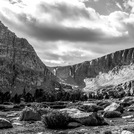
There are two ways to the summit: old army pass and new army pass. Old army pass goes past lakes so people prefer it a lot. However if there's snow on the ground then New Army Pass is going to be a safer climb. I climbed Old Army Pass on 7/3/16 and the trail was covered in a 3-ft slab of compacted snow along the top of the pass. Most of the hikers commented on how dangerous and sketchy it was. I was the only one with an ice axe and yes it was sketchy up there.
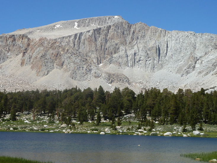
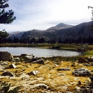
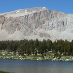
The scenery is beautiful. On my way back I jumped into one of the lakes. It was cold but the beach was warm and I was able to work on my tan. You'll pass babbling brooks, old forest, marmots and deer. Everything looks either green, blue, or majestic gray.
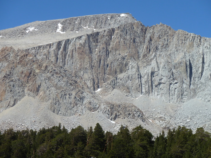
I stopped at the final push to the summit because there is some boulder scrambling to get past. Then it looked like a steep walk up to the enormous summit, which can be seen towering over you at times on the hike up. It can also be seen from down near Lone Pine. The drive up to 10,000 ft is by and large a nice road but it has some 1-way sections so try to do it during daylight. Plenty of camping for hikers and equestrians.
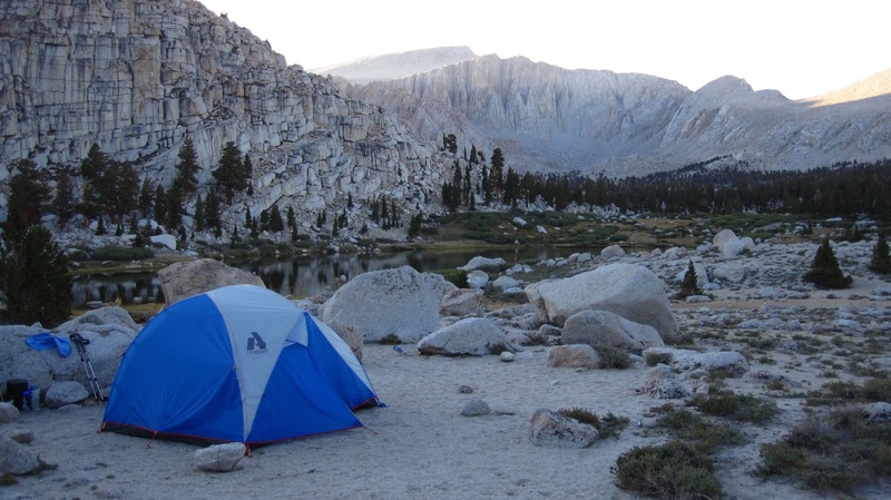
If you go up for a weekend I recommend breaking up the 22 mile slog into an overnight. Camp around 6 miles in on your first evening because that's by the lakes. Then you're up early to get the first go at the peak.
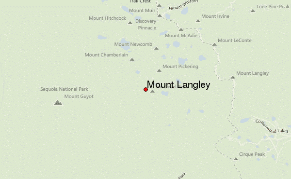
 Mount Langley – Climbing, Hiking & Mountaineering information

