Mount Kisokoma Guide
- Elevation: 2956
- Difficulty: -
- Best months to climb: -
- Convenient center: -
Mount Kisokoma climbers Notes
Samanyu from JAPAN writes:
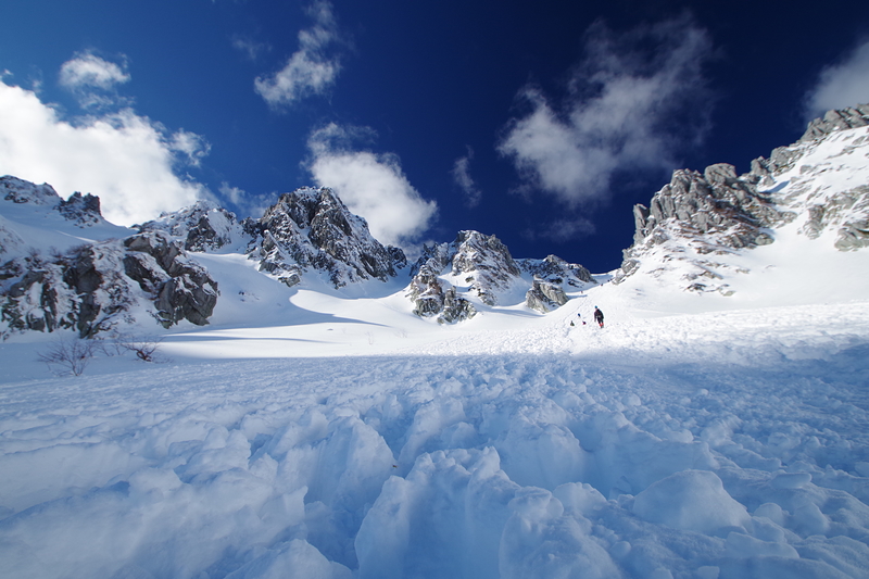
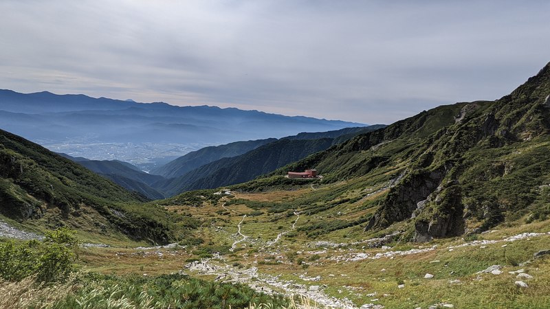
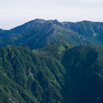
As you exit the ropeway (round trip ~JPY4,500), you are immediately struck by how beautiful the Senjojiki cirque is. Makes it worth being packed like sardines in the ropeway car.
The route is well maintained and marked with signs to Komagadake (駒ヶ岳)or Colt Mountain. You can break the climb into 3 parts:
1. 40 min climb to the top of the cirque (乗越浄土) through a short series of switchbacks
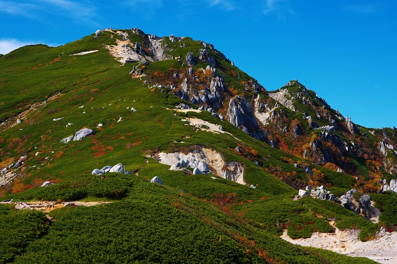
2. 20 min walk past a couple of mountain huts, and a short 20 minute climb to Nakadake(中岳)
3. 15 minute descent to the last mountain hut and campsite, followed by a 25 min climb to the top of Kisokoma.
Notes:
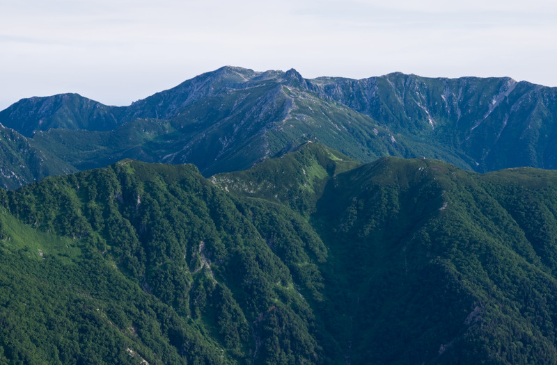
1. There are trails in all directions, with some mountain huts sprinkled in. A good hiker could plan a really interesting route through this range, with plenty of scenic ridge hikes and well maintained trails
2. Houkendake is a short excursion from just behind the first mountain hut. Most people climbing it had helmets on. Some had rope for safety.
3. The descent from Nakadake can be tricky for newer hikers and might take a bit longer.
2023-08-22 |
Click here to submit your own climbing note for Mount Kisokoma
|
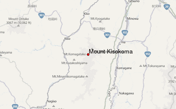
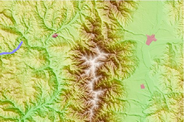
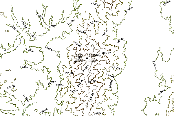
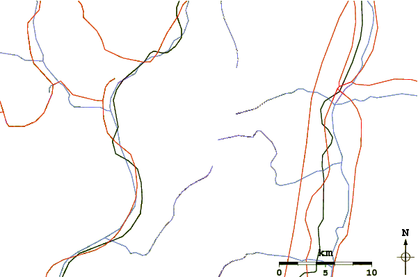
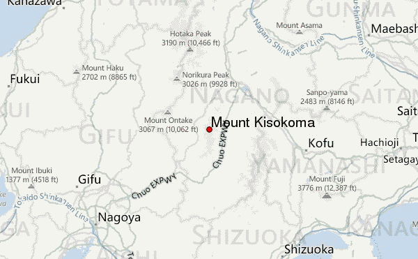
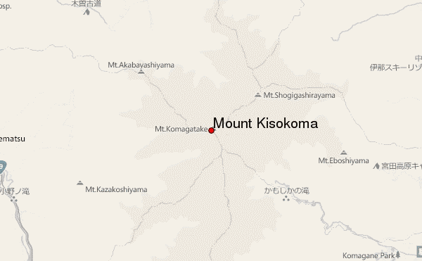
Select Mount Kisokoma Location Map Detail:
Use this relief map to navigate to mountain peaks in the area of Mount Kisokoma.
10 other mountain peaks closest to Mount Kisokoma:
 Mount Kisokoma – Climbing, Hiking & Mountaineering information