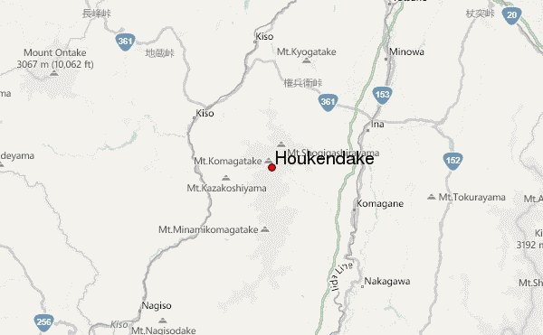
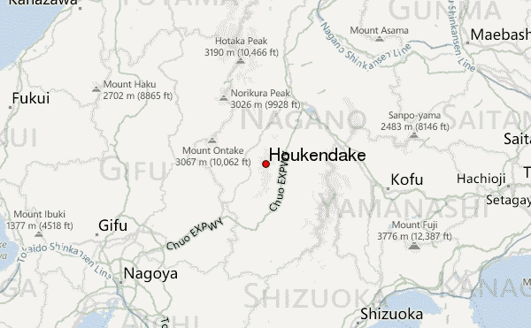
– Lat/Long: 35.78° N 137.81° E
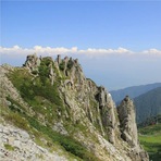
 Houkendake – Climbing, Hiking & Mountaineering information

Houkendake Guide
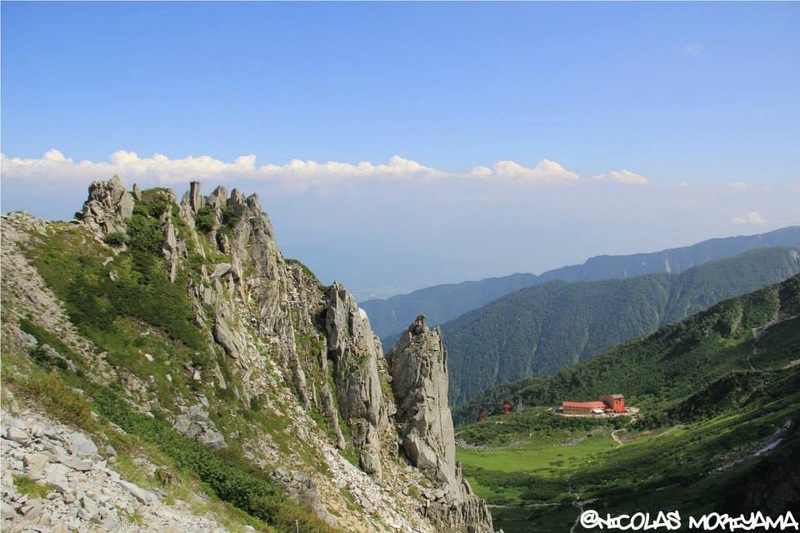
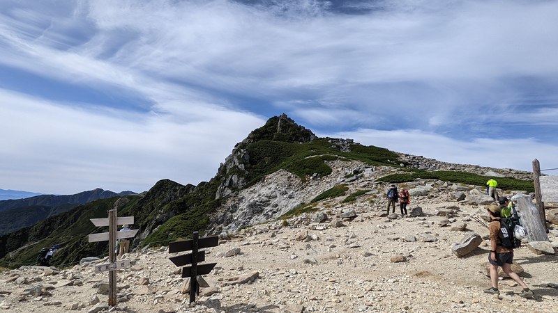
- Elevation: 2931
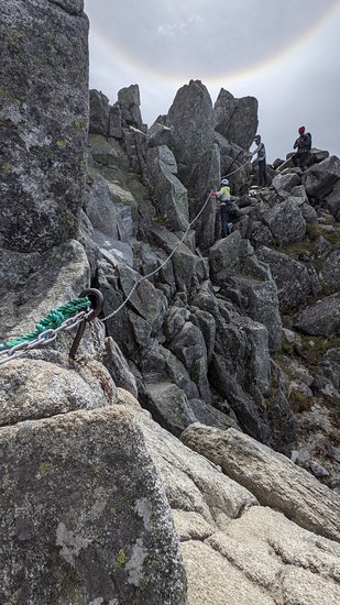
- Difficulty: Scramble
- Best months to climb: August, September, October
- Convenient center: Ina City, Nagano
Houkendake climbers NotesBe the first to submit your climbers note! Please submit any useful information about climbing Houkendake that may be useful to other climbers. Consider things such as access and accommodation at the base of Houkendake, as well as the logistics of climbing to the summit. |
| Select a
mountain summit from the menu |
||
|
Select a Mountain Summit
|
||
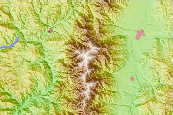
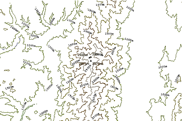
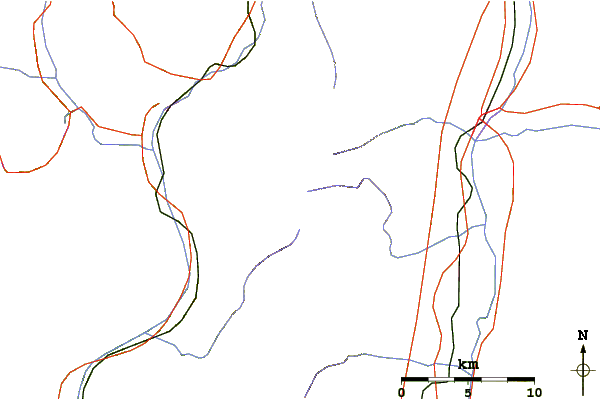
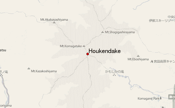
Use this relief map to navigate to mountain peaks in the area of Houkendake.
10 other mountain peaks closest to Houkendake:
| 1. | 檜尾小屋 (2864 m) | 0.1 km |
| 2. | 頂上木曽小屋 (2863 m) | 0.2 km |
| 3. | 宝剣山荘 (2640 m) | 0.7 km |
| 4. | 金懸小屋 (2871 m) | 0.7 km |
| 5. | Mount Kisokoma (2956 m) | 0.9 km |
| 6. | 玉乃窪山荘 (2882 m) | 1.0 km |
| 7. | こまゆき荘 (2749 m) | 1.2 km |
| 8. | Mount Sannosawa (2846 m) | 2.2 km |
| 9. | 天狗荘 (2683 m) | 3.2 km |
| 10. | 西駒山荘 (2671 m) | 3.5 km |