– Lat/Long: 6.78° S 106.98° E

IdMount Gede – Climbing, Hiking & Mountaineering information

Placeholder

Mount Gede mountain guide

Mount Gede photo

Mount Gede

Photo credit:

  • Elevation: 2958 m
  • Difficulty:
  • Best months to climb:
  • Convenient center:

Mount Gede Climbing Notes

Rachmat Suharjo from INDONESIA writes:

Registration for climbing Mount Gede-Pangrango is done at least 30 days before climbing. Online booking can be done via the TNGGP official website at

H t t p : / / booking dot gedepangrango dot org

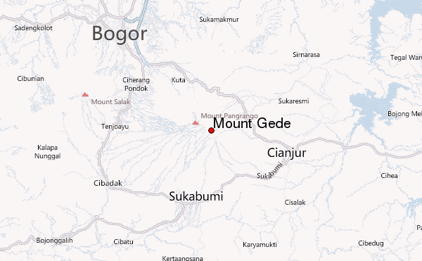
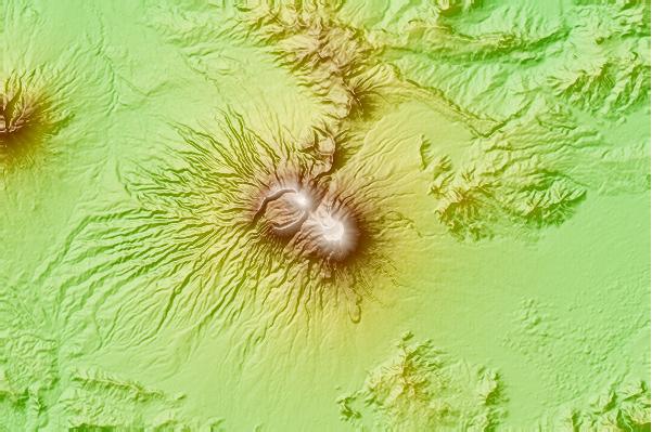
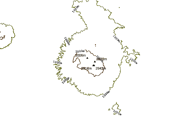
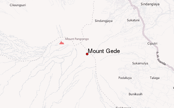
Gunung Gede has three official routes.

1. Cibodas pathway

It is recommended for novice climbers with neat paths.

average grade of 20 to 40 degrees

from this path can also access to Pangrango mountain via the rhino pen post.

2. Putri Pathway

Short path with an average incline of 40 to 45 degrees

3. Salabintana pathway

The longest path is quite gentle, dominated by very dense tropical forests.

Best view along the track.

1. Suryakencana. (will only be passed if through the Putri pathway, and Salabintana pathway)

2. Madalawangi (only on Mount Pangrango, access entry via the rhino pen post)

2019-08-08

Click here to submit your own climbing note for Mount Gede

Mount Gede Location Map

Select Mount Gede Location Map Detail:


Select a mountain summit from the menu
Select a Mountain Summit
Surf breaks located close to Mount Gede Mountain peaks around Mount Gede Roads and rivers around Mount Gede

Use this relief map to navigate to mountain peaks in the area of Mount Gede.

10 other mountain peaks closest to Mount Gede:

1. Mount Gede or Gunung Gede (2958 m) 0.0 km
2. Salak I (2211 m) 28.4 km
3. Mount Salak (2211 m) 28.4 km
4. Perbakti (1699 m) 33.3 km
5. Kiaraberes-gagak (1511 m) 36.9 km
6. Gunung Parang (600 m) 45.1 km
7. Patuha (2434 m) 59.6 km
8. Tangkubanparahu (2084 m) 68.5 km
9. Tangkuban Perahu (2084 m) 68.5 km
10. Mount Malabar (2343 m) 83.6 km