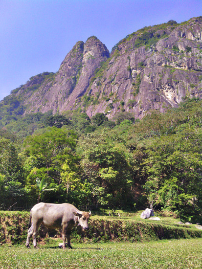
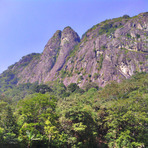
Gunung Parang Guide
- Elevation: 600
- Difficulty: Technical Climb
- Best months to climb: April, May, June, July, August
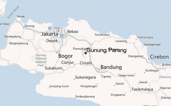
- Convenient center: Purwakarta
Gunung Parang climbers Notes
Badega Gunung Parang from INDONESIA writes:
Welcome to Badega Gunung Parang!
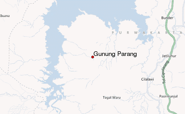
Badega Gunung Parang located at Kampung Cihuni, Desa Sukamulya, Kecamatan Tegalwaru, Purwakarta, Indonesia.
Badega Gunung Parang is village people's community who protect and conserve the Mount Parang (Gunung Parang).
This big wall can be reached only 3 hours from Jakarta International Airport (CENGKARENG / CGK) or 2 hours from Bandung.
There are any backpacker resort and camping grounds that you can stay during climbing at Mount Parang.
You can get more detail about Mount Parang through Badega Gunung Parang Hotline call +62 8787 470 8230
2014-04-16 |
Click here to read 1 more climbing note for Gunung Parang or submit your own
|
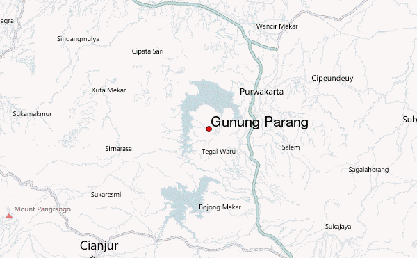
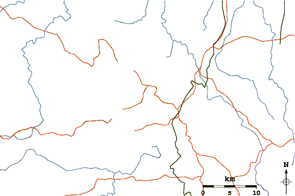
Select Gunung Parang Location Map Detail:
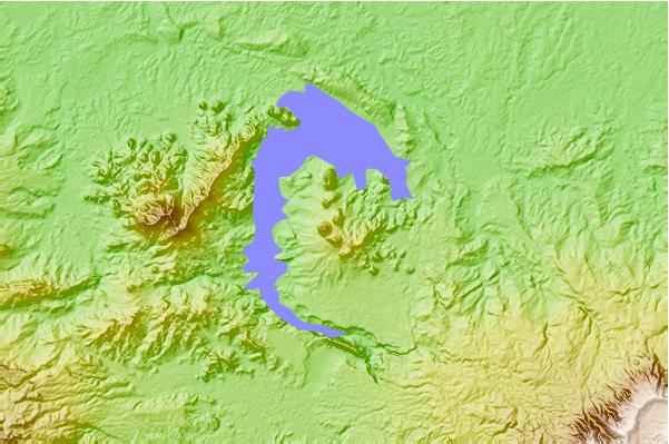
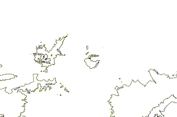
Use this relief map to navigate to mountain peaks in the area of Gunung Parang.
10 other mountain peaks closest to Gunung Parang:
 Gunung Parang – Climbing, Hiking & Mountaineering information