– Lat/Long: 33.91° N 109.56° W
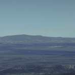
 Mount Baldy (Arizona) – Climbing, Hiking & Mountaineering information

Mount Baldy (Arizona) Guide
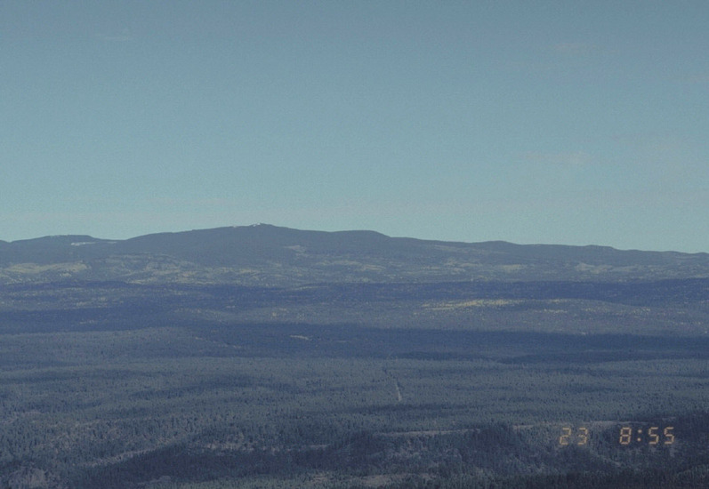
- Elevation: 3481
- Difficulty: -
- Best months to climb: -
- Convenient center: -
Mount Baldy (Arizona) climbers Notes
Click here to submit your own climbing note for Mount Baldy (Arizona) |
| Select a
mountain summit from the menu |
||
|
Select a Mountain Summit
|
||
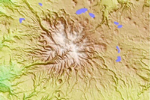
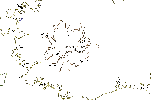
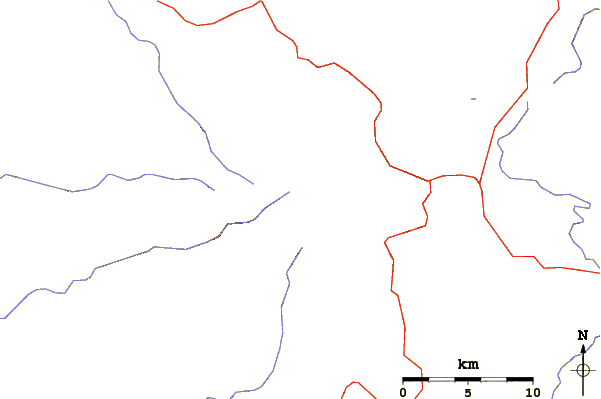
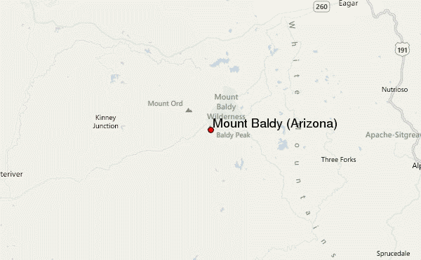
Use this relief map to navigate to mountain peaks in the area of Mount Baldy (Arizona).
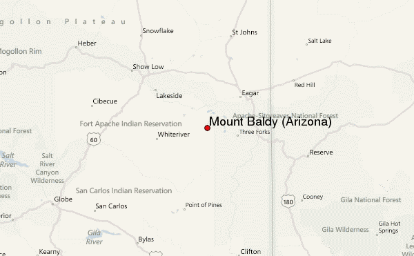
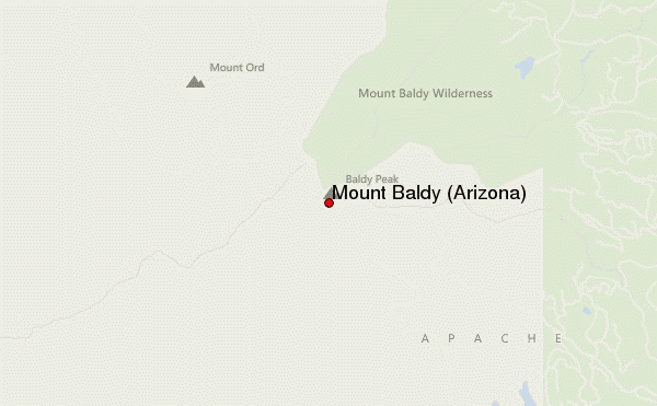
10 other mountain peaks closest to Mount Baldy (Arizona):
| 1. | Mount Ord (Apache County, Arizona) (3463 m) | 5.3 km |
| 2. | Sunrise Peak (Arizona) (3437 m) | 5.5 km |
| 3. | Sunrise Park Resort (3319 m) | 6.2 km |
| 4. | Escudilla Mountain (3326 m) | 41.0 km |
| 5. | Big Mountain (2134 m) | 45.5 km |
| 6. | Black Mesa (Navajo County, Arizona) (1864 m) | 71.5 km |
| 7. | Eagle Peak (New Mexico) (2983 m) | 95.0 km |
| 8. | Red Hill volcanic field (1897 m) | 95.0 km |
| 9. | San Carlos volcanic field (1000 m) | 96.9 km |
| 10. | Whitewater Baldy (3321 m) | 107.2 km |